
Population 2,872 (2011) Civil parish Shawbury Local time Friday 11:17 PM | OS grid reference SJ550210 Dialling code 01939 | |
 | ||
Weather 11°C, Wind S at 16 km/h, 89% Humidity | ||
Shawbury is a village and civil parish in the English county of Shropshire. The village is 8.4 miles (13.5 km) north east of the town of Shrewsbury, 11.5 miles (18.5 km) north west of Telford and 163 miles (262 km) north west of London.
Contents
Map of Shawbury, UK
The village straddles the A53 between Shrewsbury and Market Drayton. The nearest railway station is at Yorton on the Welsh Marches Line for Shrewsbury/Crewe. The 2011 census recorded a population of 2,872 for the entire civil parish of Shawbury.
History
Shawbury has an entry in the Domesday Book of 1085. In the great book Shawbury is recorded by the name Sawesberie. The main landholders was Gerard from Earl Roger of Shrewsbury. The survey also mentions that there is church and a mill.
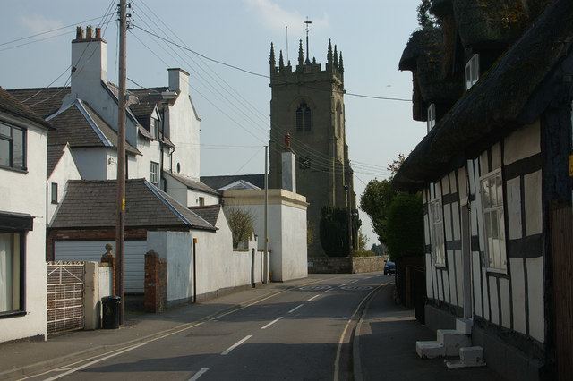
Landmarks
There has been a church on this site since at least the 12th century, although the present church is not from that date. Many air force personnel from RAF Shawbury, an air station founded in 1917, are buried in the churchyard, which contains 32 Commonwealth War Graves, 3 from World War I and 29 from World War II, besides 7 Polish Air Force personnel from the latter war.
The village is home to RAF Shawbury, a helicopter airfield for the Royal Air Force of the United Kingdom and home of the tri-services Defence Helicopter Flying School. The River Roden flows through the village. The village of Moreton Corbet, with its castle, is just to the north. Shawbury's football club is Shawbury United F.C.
Governance
An electoral ward in the same name exists. This ward covers much of the surrounding area with a total ward population as taken at the 2011 Census of 4,666.
Weather station
The main weather station for Shropshire is located in the village, at the RAF base. On 13 December 1981 a temperature of -25.2 °C was recorded, one of the coldest on record for England.