
Population 1,686 (2011 census) Area 8.6 km² Dialling code 01635 | OS grid reference SU4767 Local time Friday 11:12 PM | |
 | ||
Weather 9°C, Wind SE at 13 km/h, 84% Humidity | ||
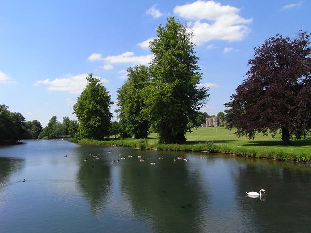
Shaw-cum-Donnington is a civil parish in West Berkshire, Berkshire, England with all of its urban or suburban area immediately north of (contiguous with) the largest town in the district, Newbury. It comprises the villages of Shaw and Donnington and contains the partially ruined castle of Donnington Castle which has most of its various outside walls intact.
Contents
Map of Shaw cum Donnington, UK
Geography
The area is mostly green space but where developed is almost entirely residential with shops and cafés. It has housing immediately north of (contiguous with) the town of Newbury. It comprises the villages of Shaw and Donnington and contains the partially ruined castle of Donnington Castle which has most of its various outside walls intact.
Amenities
The ecclesiastical parish church which crosses the River Lambourn bounding the civil parish to the south for a few hundred metres, is of the same name and otherwise of about the same borders. It has one church which has an active Church of England community at Shaw.
Shaw, the eastern clustered development also has the area's Church of England primary school.