
Coat of arms Flag Urban okrug Sharypovo Urban Okrug Local time Saturday 3:50 AM | Administratively subordinated to krai town of Sharypovo Area 30 km² | |
 | ||
Weather 1°C, Wind S at 13 km/h, 57% Humidity | ||
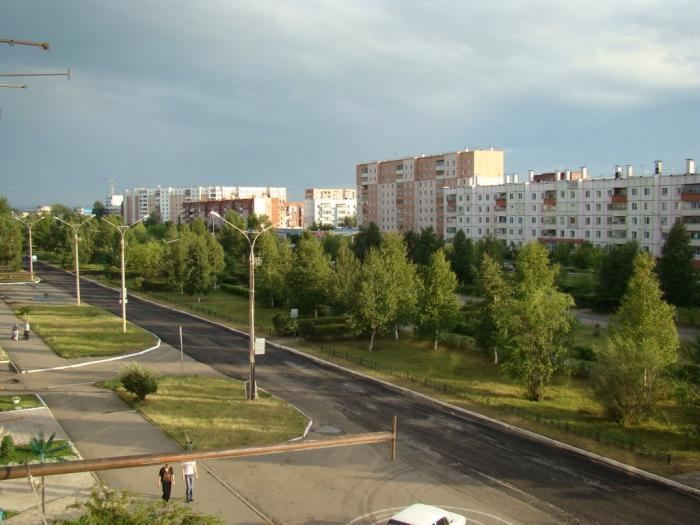
Sharypovo (Russian: Шарыпово) is a town in Krasnoyarsk Krai, Russia, located on the Beresh River (Chulym's basin), 414 kilometers (257 mi) west of Krasnoyarsk. Population: 38,561 (2010 Census); 41,532 (2002 Census); 39,771 (1989 Census).
Contents
- Map of Sharypovo Krasnoyarsk Krai Russia
- History
- Administrative and municipal status
- Points of interest
- References
Map of Sharypovo, Krasnoyarsk Krai, Russia
History
It was founded in the second half of the 18th century as a village and later grew into a selo. Town status was granted to it in 1981. In 1985–1988, it was called Chernenko (Черне́нко), after the General Secretary of the Communist Party of the Soviet Union Konstantin Chernenko, who was born here.
Administrative and municipal status
Within the framework of administrative divisions, Sharypovo serves as the administrative center of Sharypovsky District, even though it is not a part of it. As an administrative division, it is, together with two urban-type settlements (Goryachegorsk and Dubinino), incorporated separately as the krai town of Sharypovo—an administrative unit with the status equal to that of the districts. As a municipal division, the krai town of Sharypovo is incorporated as Sharypovo Urban Okrug.