
County Franklin ZIP code 47060 Elevation 308 m | State Indiana FIPS code 18-69066 Local time Friday 4:39 PM | |
 | ||
Weather 11°C, Wind W at 19 km/h, 83% Humidity | ||
Sharptown is an unincorporated community in Whitewater Township, Franklin County, Indiana.
Contents
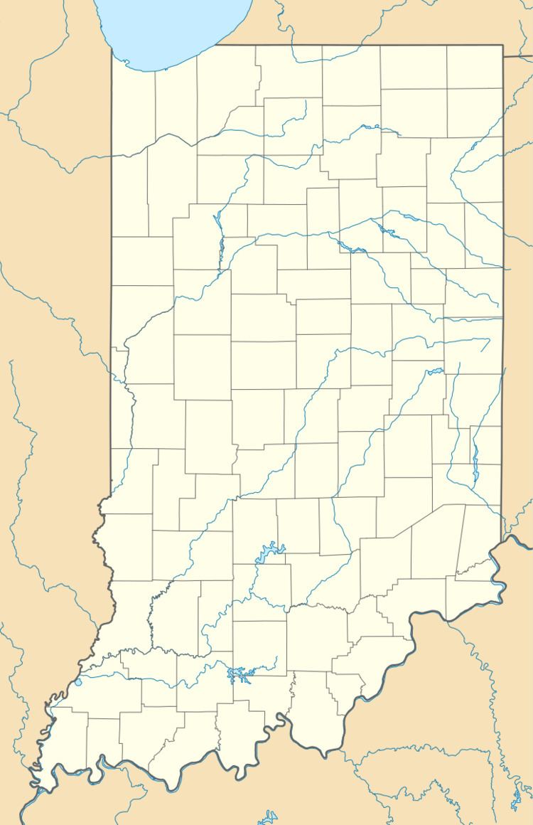
Map of Sharptown, IN 47060, USA
History
Sharptown (historically called Sharpstown) was originally a post office on the Mt. Carmel and Johnson Fork Turnpike. The post office at Sharptown operated from 1878 until 1906.
Geography
Sharptown is located at 39°22′01″N 84°52′25″W.
References
Sharptown, Indiana Wikipedia(Text) CC BY-SA