
FIPS code 18-68994 Elevation 262 m Local time Friday 12:01 PM | GNIS feature ID 443286 Zip code 46071 | |
 | ||
Weather 8°C, Wind NW at 23 km/h, 90% Humidity | ||
Shannondale is an unincorporated community in Franklin Township, Montgomery County, Indiana.
Contents
Map of Shannondale, IN 47933, USA
History
Shannondale was platted by Isaiah Lame and George Woods in 1851. Nathan Shannon was an early postmaster. The post office was established at Shannondale in 1852, and remained in operation until 1909.
Geography
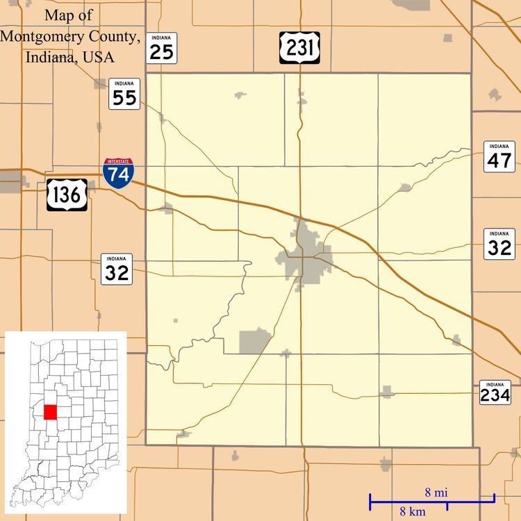
Shannondale is located at 40°03′17″N 86°41′44″W.
References
Shannondale, Indiana Wikipedia(Text) CC BY-SA