
Country United States GNIS feature ID 0766385 Area 111.3 km² Population 413 (2010) | FIPS code 29-66962 Elevation 230 m Local time Friday 7:22 AM | |
 | ||
Weather 6°C, Wind NW at 18 km/h, 96% Humidity | ||
Shamrock Township is one of eighteen townships in Callaway County, Missouri, USA. As of the 2010 census, its population was 413.
Contents
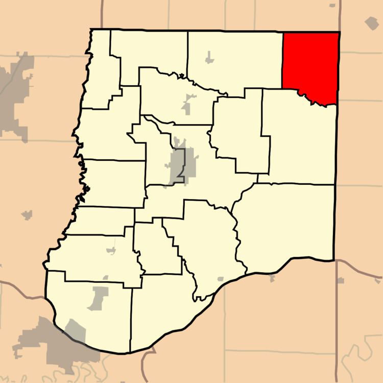
Map of Shamrock Township, MO, USA
History
It's named for the shamrock, a national symbol of Ireland.
Geography
Shamrock Township covers an area of 42.97 square miles (111.3 km2) and contains no incorporated settlements. It contains three cemeteries: Augusta, Chatman and Sawyers.
The streams of Appling Branch, Bachelor Creek, Brushy Branch, Harrison Creek, Heat String Creek and Morris Branch run through this township.
References
Shamrock Township, Callaway County, Missouri Wikipedia(Text) CC BY-SA