Time zone PST (UTC+5) | ||
 | ||
Shakrial rawalpindi
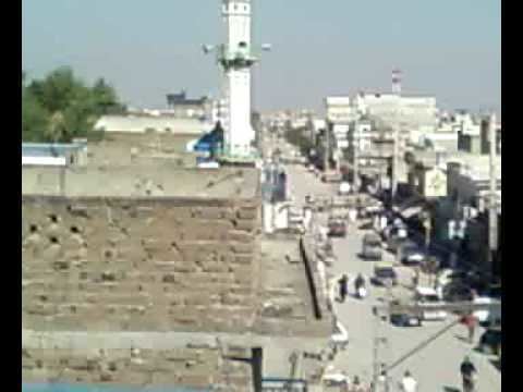
Shakrial is situated at East-Southern side of District Rawalpindi. In the East it is linked to Kurri Road and Dhoke Kashmirian area, In the west it is linked to Chirah Road, In the north it is linked to Service Road and Sadiqabad area and in south it is linked to Islamabad Highway or G.T Road. Shakrial is a rapidly growing town in Rawalpindi, Pakistan. It is divided into two main parts, Old Shakrial and New Shakrial. The native people of Shakrial are Qureshis. Other major clans are Syeds, Hanjra Rajputs, Maliks, Abbasis khans and Sattis. Every year in the summer season, people gather here for Urs. It is an urban area occupying the prominent position, as the Islamabad International Airport to Islamabad road is nearby. There is one central graveyard that is situated with Islamabad Highway or GT. Road known as Zia Masjid Qabirstan. Utilities like Gas, Electricity and Telephone are available in Shakrial. People working in Islamabads Government or Private institutions prefer to live in shakrial due to its geographical and economical benefits.
Contents
- Shakrial rawalpindi
- Map of Shakrial Rawalpindi Pakistan
- Education
- Educational reforms
- Playground
- Library
- References
Map of Shakrial, Rawalpindi, Pakistan
Education
Basic Education level is satisfactory in Shakrial. But there is not any Higher Education Government or Private college or University for the people of Shakrial. Nearest high school is Government Comprehensive High School and Government Hashmat Ali Islamia College in Dhoke Kashmirian Area.
Educational reforms
Education and oversight therein could be improved.
Playground
There is no playground or park in this area.
Library
The town lacks a library.
