
Vehicle registration UP Elevation 237 m Local time Friday 11:47 AM | Time zone IST (UTC+5:30) Website up.gov.in Population 17,186 (2001) | |
 | ||
Weather 35°C, Wind W at 13 km/h, 26% Humidity | ||
Shahpur is a town and a nagar panchayat in Muzaffarnagar district in the Indian state of Uttar Pradesh.
Contents
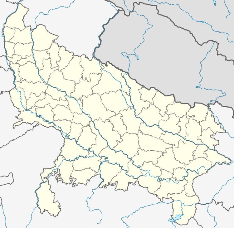
Map of Shahpur, Uttar Pradesh 251318
Geography
Shahpur is located at 29.35°N 77.55°E / 29.35; 77.55. It has an average elevation of 237 metres (777 feet).
Demographics
As of 2001 India census, Shahpur had a population of 17,186. Males constitute 53% of the population and females 47%. Shahpur has an average literacy rate of 49%, lower than the national average of 59.5%: male literacy is 57%, and female literacy is 40%. In Shahpur, 18% of the population is under 6 years of age..
References
Shahpur, Uttar Pradesh Wikipedia(Text) CC BY-SA