
Country China Time zone China Standard (UTC+8) Area 49.83 km² Population 693,140 (2010) | Sub-provincial city Dalian 5 Lüshunkou Local time Friday 1:30 PM Province Liaoning | |
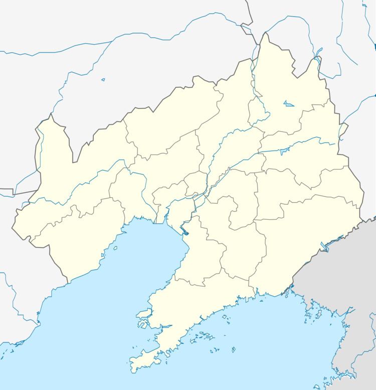 | ||
Seat No. 393 Zhongshan Road (中山路393号) Dalian district map Subdivisions of Dalian, Liaoning
1
2
3
4
5
6
7
8
9
10
Core
1
Zhongshan
2
Xigang
3
Shahekou
4
Ganjingzi
Suburban
5
Lüshunkou
6
Jinzhou
9
Pulandian
Satellite
8
Wafangdian
10
Zhuanghe
Rural
7
Changhai Co. Weather 13°C, Wind NW at 29 km/h, 30% Humidity Points of interest Xinghai Square, Sunasia Ocean World, Dalian Forest Zoo, Dalian Modern Museum, Zhongshan Park Colleges and Universities Dongbei University of Financ, Liaoning Normal University, Dalian Jiaotong University | ||
Shahekou District (simplified Chinese: 沙河口区; traditional Chinese: 沙河口區; pinyin: Shāhékǒu Qū) is one of the seven districts of Dalian, Liaoning province, People's Republic of China, forming part of the urban core. It is located in the western portion of the city. Its area is 34.71 square kilometres (13.40 sq mi) and its permanent population as of 2010 is 693,140, making it Dalian's most densely populated county-level division. Its postal code is 116021.
Contents
Map of Shahekou, Dalian, Liaoning, China
Administrative divisions
There are 9 subdistricts within the district.
Subdistricts:
Education
The following secondary schools are within Shahekou District:
The following universities are within Shahekou District:
References
Shahekou District Wikipedia(Text) CC BY-SA