Country State | Language spoken Hindi District Shahdol | |
 | ||
Map of Shahdol
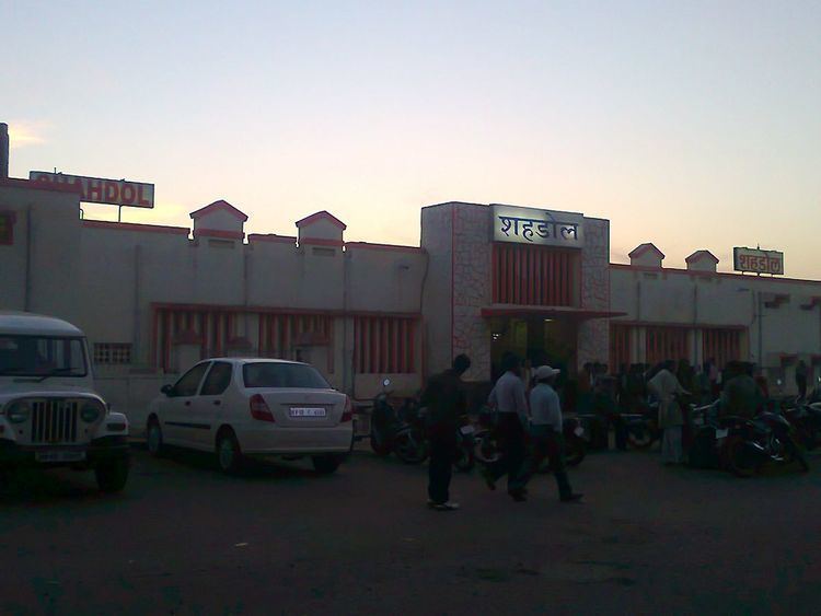
Shahdol is a city in Shahdol district in the Indian state of Madhya Pradesh. It is the administrative headquarters of Shahdol District. Shahdol is also the 9th Division of Madhya Pradesh state since 14 june 2008, including Shahdol, Anuppur and Umaria.
Contents
- Map of Shahdol
- Ban sagar dam deolond shahdol district india wmv
- Amrita hospital shahdol mp india
- Demographics
- Notable people
- References
District Shahdol is predominantly hilly, with a belt of śāl trees and mixed forests. The total geographical area of the district is 5,671 square kilometres (2,190 sq mi).
Ban sagar dam deolond shahdol district india wmv
Amrita hospital shahdol mp india
Demographics
As of 2011 India census, Shahdol had a population of 100,565. Males constitute 51% of the population and females 49%. Shahdol has an average literacy rate of 80%, higher than the national average of 59.5%: male literacy is 86%, and female literacy is 72%. 12% of the population is under 6 years of age.
Notable people
References
Shahdol Wikipedia(Text) CC BY-SA
