
Country Bangladesh District Rajshahi District Area 15 km² | Division Rajshahi Division Time zone BST (UTC+6) Population 17,000 (1991) | |
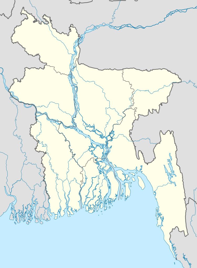 | ||
Website Official Map of Shah Makdam | ||
Shah Makdam (Bengali: শাহ মখদম) is an Upazila of Rajshahi District in the Division of Rajshahi, Bangladesh.
Contents
Geography
Shah Makdam is located at 24.4000°N 88.6167°E / 24.4000; 88.6167. It has total area 15 km².
Demographics
According to the 2011 Bangladesh census, Shah Makdam Thana had 6,892 households and a population of 29,103. 7.5% of the population was under the age of 5. The literacy rate (age 7 and over) was 68.2%, compared to the national average of 51.8%.
Administration
Shah Makdam has 2 wards, 0 Mauzas/Mahallas, and 0 villages.
References
Shah Makdam Thana Wikipedia(Text) CC BY-SA