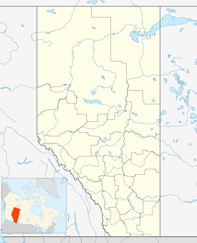
 | ||
Shaftesbury Settlement is an unincorporated community in Alberta, Canada within the Municipal District of Peace No. 135 that is recognized as a designated place by Statistics Canada. It is located on the southeast side of Highway 684, 4 km (2.5 mi) south of Highway 2. It is adjacent to the Town of Peace River to the north on the west shore of the Peace River.
Contents
Map of Shaftesbury Settlement, AB, Canada
The Shaftesbury Formation, a stratigraphic unit of the Western Canadian Sedimentary Basin was named for the settlement. The community is named after Shaftesbury when it was founded by Rev J.G. Brick in 1890; he was from Shaftesbury.
Demographics
As a designated place in the 2016 Census of Population conducted by Statistics Canada, Shaftsbury Settlement recorded a population of 71 living in 30 of its 31 total private dwellings, a change of 42% from its 2011 population of 50. With a land area of 4.17 km2 (1.61 sq mi), it had a population density of 17.0/km2 (44.1/sq mi) in 2016.
As a designated place in the 2011 Census, Shaftesbury Settlement had a population of 50 living in 20 of its 21 total dwellings, a -27.5% change from its 2006 population of 69. With a land area of 11.88 km2 (4.59 sq mi), it had a population density of 4.2/km2 (10.9/sq mi) in 2011.
