
 | ||
Mountains Pratts Peak, Stephenson Bastion | ||
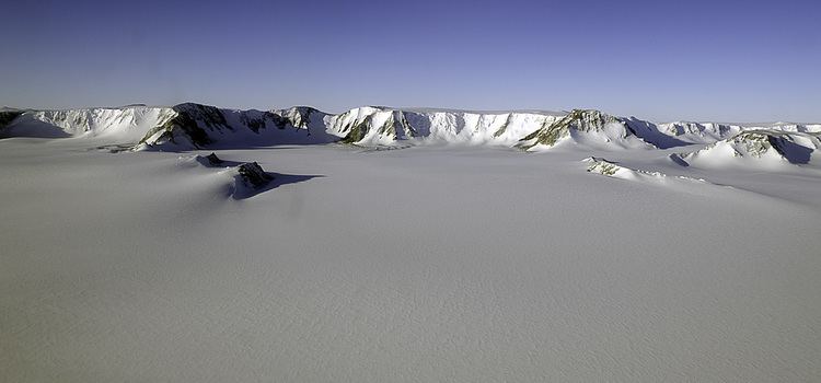
The Shackleton Range is a mountain range in Antarctica. Rising at Holmes Summit to 1,875 metres (6,152 ft), it extends in an east-west direction for about 160 kilometres (99 mi) between the Slessor and Recovery glaciers.
Contents
Map of Shackleton Range, Antarctica
The range was named after Sir Ernest Shackleton, leader of the British Imperial Trans-Antarctic Expedition (or "Shackleton's Expedition") of 1914-16.
Surveys
The Commonwealth Trans-Antarctic Expedition (CTAE), which in 1956 saw the range from the air, conducted a ground-level survey of its western part in 1957. The United States Navy photographed the range from the air in 1967. In 1968–69 and 1969–70, the British Antarctic Survey (based at Halley Station) conducted further ground surveys with support from US Navy C-130 Hercules aircraft.