Population 142 (2006 census) Postcode(s) 6386 Founded 1951 Local time Friday 8:47 AM | Established 1951 Elevation 249 m Postal code 6386 | |
 | ||
Location 210 km (130 mi) East of Perth30 km (19 mi) West of Bruce Rock36 km (22 mi) South of Kellerberrin Weather 18°C, Wind E at 10 km/h, 45% Humidity | ||
Shackleton is a small town in the Wheatbelt region of Western Australia.
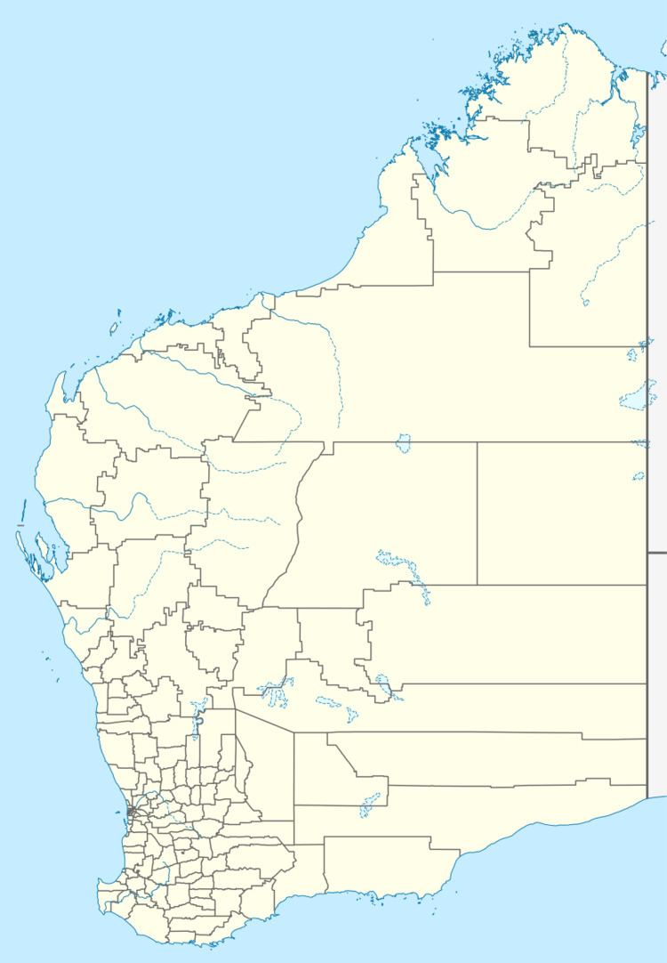
Map of Shackleton WA 6386, Australia
The town is located close to the Salt River and along the railway line between Bruce Rock and Quairading.
Originally a railway siding for the railway line when constructed in 1913, the town was developed privately before being gazetted in 1951. The town is named after the Antarctic explorer Sir Ernest Shackleton.
The local Agricultural Hall was officially opened in 1920 by Mr. H. Griffiths MLA, it was built on land provided by Dr. Germyn.
The Bankwest branch in the town claimed to be the world's smallest bank. The building measures 3 by 4 metres (10 by 13 ft), but was closed in 1997.
The surrounding areas produce wheat and other cereal crops. The town is a receival site for Cooperative Bulk Handling.
