
Area 329.6 km² | Time zone EET (UTC+2) Population 5,580 (Dec 2009) | |
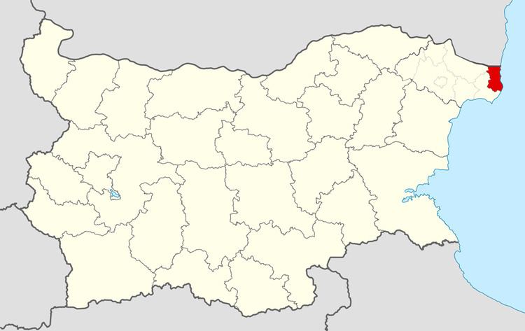 | ||
Shabla Municipality (Bulgarian: Община Шабла) is a municipality (obshtina) in Dobrich Province, Bulgaria, located in the north-easternmost part of the country on the Northern Bulgarian Black Sea Coast in Southern Dobruja geographical region, bounded by Romania to the north. It is named after its administrative centre - the town of Shabla.
Contents
Map of Shabla, Bulgaria
The municipality embraces a territory of 329.64 km² with a population of 5,580 inhabitants, as of December 2009.
The area is best known with Cape Shabla - Bulgaria's easternmost point as well as the natural reserve of Durankulak Lake. The main road E87 crosses the municipality connecting the port of Varna with the Romanian port of Konstanza.
Settlements
Shabla Municipality includes the following 16 places (towns are shown in bold):
Demography
The following table shows the change of the population during the last four decades.