
 | ||
Hong kong s abandoned sha lo tung villages part 1 2
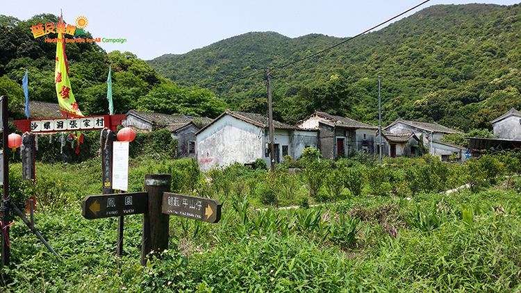
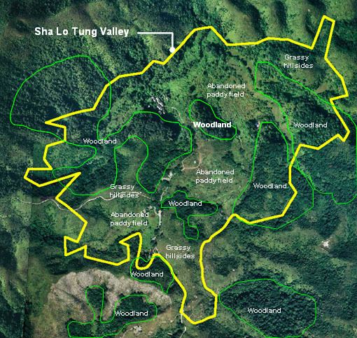
Sha Lo Tung (沙羅洞) is an area of Tai Po District, in the northeastern New Territories of Hong Kong.
Contents
Sha lo tung
Geography
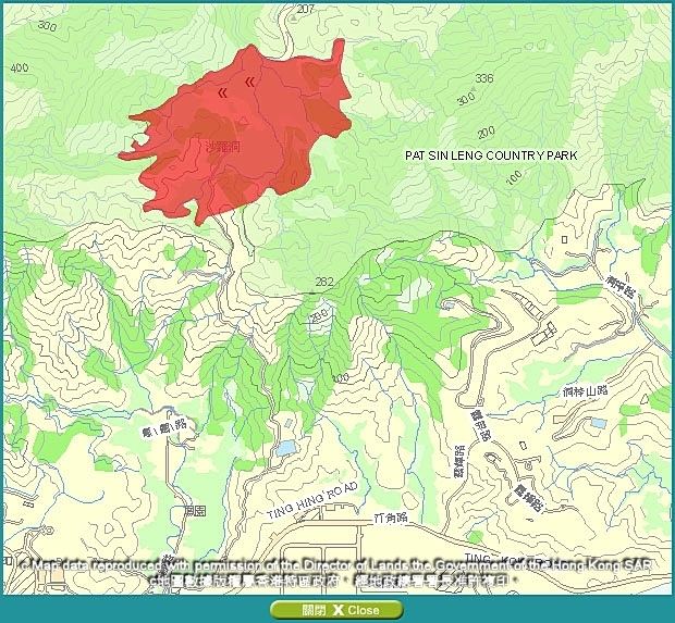
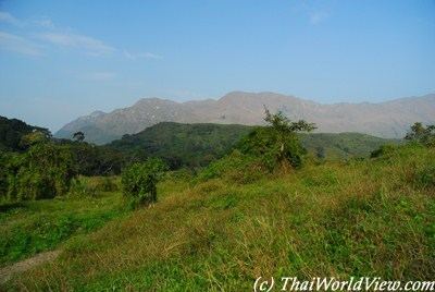
Sha Lo Tung is located at approximately 3.8 km north-east from the centre of the Tai Po New Town and is bounded by the Tai Po New Town to the south and surrounded by the Pat Sin Leng Country Park to the north, east and west. More specifically, it is located south of the Hok Tau Reservoir and north of Fung Yuen Village.
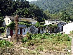
Villages
There are two villages in Sha Lo Tung: Cheung Uk and Lei Uk. Lei Uk is divided into Lo Wai and Sun Wai, 'Old Village' and 'New Village'. Cheung Uk and Lo Wai are Grade II Historic Buildings.
Fauna
Sha Lo Tung is an important habitat of dragonflies and damselflies.
References
Sha Lo Tung Wikipedia(Text) CC BY-SA