
OS grid reference TQ385975 Dialling code 020 | Sovereign state United Kingdom Postcode district E4 | |
 | ||
Lee valley campsite sewardstone road london september
Sewardstone is a hamlet in the civil parish of Waltham Abbey in the Epping Forest District of Essex, England. It is located 11.6 miles NNE of central London, in the London commuter belt and the E4 postcode area. The area consists of scattered development with large sections of open land. It is centred on the A112 Sewardstone Road, which connects Waltham Abbey and Chingford. The King George V Reservoir and Sewardstone Marsh form the boundary with the London Borough of Enfield to the west. It is connected to Enfield Island Village by a footpath but not by road. A section of woodland forms the boundary with the London Borough of Waltham Forest to the south. To the east lies High Beach.
Contents
- Lee valley campsite sewardstone road london september
- Map of Sewardstone Waltham Abbey London UK
- Transport
- Nearest places
- References
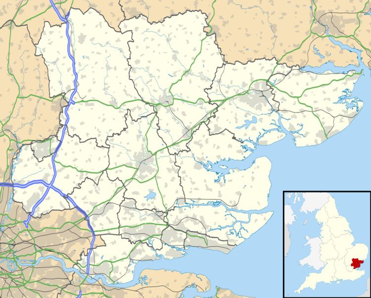
Map of Sewardstone, Waltham Abbey, London, UK
The world HQ of the Scout movement, Gilwell Park, is at Sewardstone.
Transport
Route 505 runs between Chingford and Harlow via Waltham Abbey. To the south, 215 offers a frequent service from the Lee Valley Camp Site to Walthamstow during the summer. During the winter it only operates between Yardley Lane Estate and Walthamstow.
The nearest railway station is Chingford Station, with frequent trains to London Liverpool St. The nearest London Underground station is at Loughton, for frequent trains to London and Epping.