Country United States GNIS feature ID 509034 Local time Thursday 11:26 AM | Time zone Central (CST) (UTC-6) Elevation 292 m Area code 606 | |
 | ||
Weather 25°C, Wind S at 26 km/h, 41% Humidity | ||
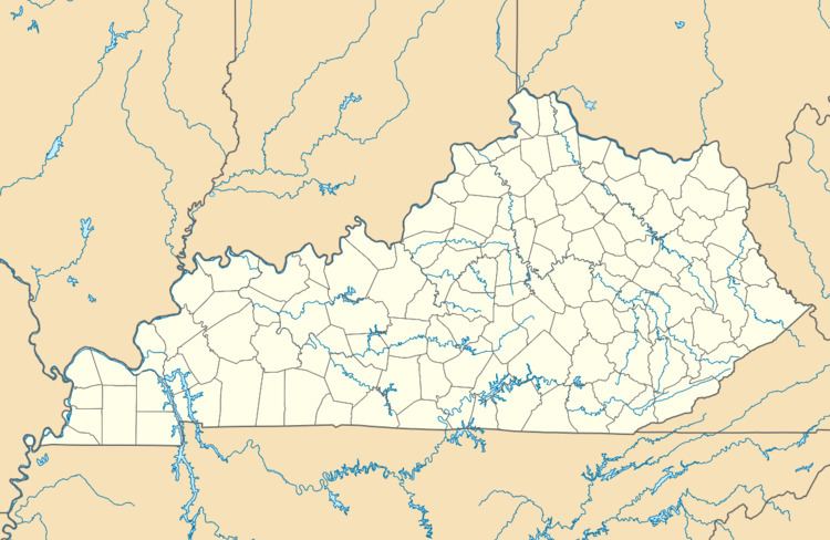
Seventy Six is an unincorporated community in Clinton County, Kentucky, United States. Seventy Six is 6.9 miles north of Albany. Its post office has been closed.
Map of Seventy Six, KY 42602, USA
The community was named after nearby Seventy Six Falls.
References
Seventy Six, Kentucky Wikipedia(Text) CC BY-SA
