
Elevation 189 m | ||
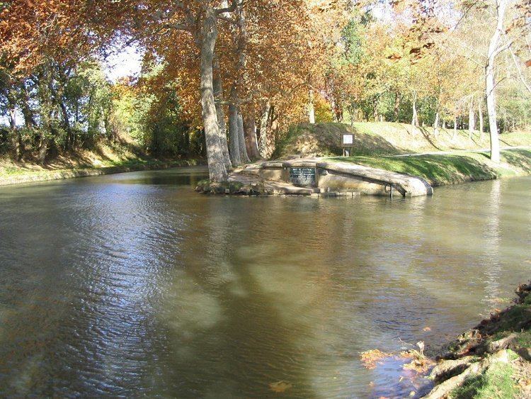 | ||
The Seuil de Naurouze, or Col de Naurouze, is the highest point (190 m above sea level) of the Canal du Midi in southern France. It is the watershed point identified by Pierre-Paul Riquet when he designed and built the canal. Water falling on the western side of this point flows to the Atlantic Ocean and on the eastern side to the Mediterranean Sea. It is on the border of the department of Haute-Garonne and the department of the Aude.
Contents
Map of Col de Naurouze, 11320 Montferrand, France
In 1827, the heirs of Riquet built the Riquet Obelisk. The obelisk has a dedication: "To Pierre-Paul Riquet, Baron Bonrepos, author of the Two Seas Canal in Languedoc". It is erected near the site of the former octagonal holding tank, called the Bassin de Naurouze created during the building of the Canal du Midi.
The flow of water from the Bassin de St. Ferréol joins the Canal at this point.
The Seuil is knowed since Antiquity: Greek geographer Strabo called it the Gaulish isthmus, and the Roman road Via Aquitania, going from Narbonnes to Toulouse, went through the Seuil.