
Country Japan Area 58.08 km² Prefecture Tokyo | Region Kantō Population 890,927 (1 Jun 2016) Area code 03 | |
 | ||
Time zone Japan Standard Time (UTC+9) Postal code(s) 154 to 158 (First three digits) Website www.city.setagaya.lg.jp/index.html Mayor Nobuto Hosaka (since May 2011) Colleges and Universities Komazawa University, Tokyo University of Agricult, Kokushikan University, Tokyo City University, Nippon Sport Science Points of interest Carrot Tower, Hasegawa Machiko Art Muse, Gotoh Museum, Seikadō Bunko Art Museum, Setagaya Art Museum | ||
Setagaya (世田谷区, Setagaya-ku) is a special ward in Tokyo, Japan. It is also the name of a neighborhood and administrative district within the ward. The ward calls itself Setagaya City in English. Its official bird is the azure-winged magpie, its flower the fringed orchid, and its tree the Zelkova serrata.
Contents
- Map of Setagaya Tokyo Japan
- Geography
- History
- Landmarks
- Districts
- Rail
- Expressways
- National highways
- Politics
- Economy
- Universities and colleges
- High schools
- Elementary schools
- International Schools
- International relations
- References
Map of Setagaya, Tokyo, Japan
Setagaya has the largest population and second largest area (after Ōta) of Tokyo's 23 special wards. As of June 1, 2016, the ward has an estimated population of 890,927 and a population density of 15,339.65 persons per km2 with the total area of 58.08 km2.
Geography
Setagaya is located at the southwestern corner of the 23 special wards and Tama River separates the boundary between Tokyo Metropolis and Kanagawa Prefecture.
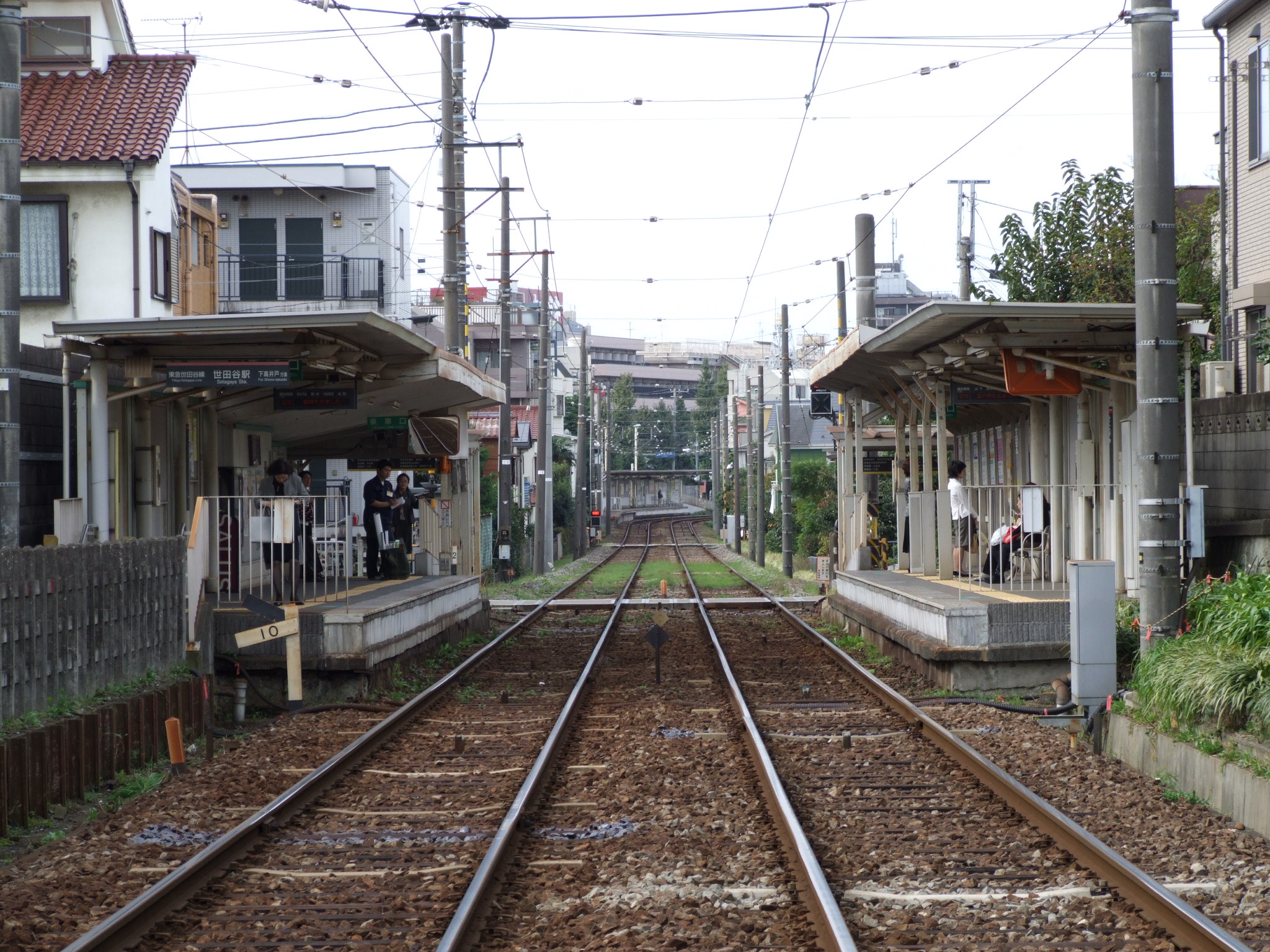
Residential population is among the highest in Tokyo as there are many residential neighbourhoods within Setagaya. Setagaya is served by various rail services providing frequent 2 to 3 minutes headway rush hour services to the busiest train terminals of Shinjuku and Shibuya as well as through service trains which continue travelling on to the Tokyo Metro lines providing direct access to the central commercial and business districts. Most rail lines run parallel from east to west and there are no north to south rail services within Setagaya, except for Setagaya Line light rail.
The ward is divided into five districts. These are Setagaya, Kitazawa, Tamagawa, Kinuta and Karasuyama. The main ward office and municipal assembly (city hall) is located in Setagaya District, but other districts also have its own branch ward offices as a part of the administrative structure. Each branch offices provide almost identical services as the main office, but does not provide the services related to municipal assembly.
Most of the land is in the Musashino Tableland. The parts along the Tama River to the south are comparatively low-lying.
History
The special ward of Setagaya was founded on March 15, 1947.
During the Edo period, 42 villages occupied the area. With the abolition of the han system in 1871, the central and eastern portions became part of Tokyo Prefecture while the rest became part of Kanagawa Prefecture; in 1893, some areas were transferred to Tokyo Prefecture. With the establishment of Setagaya Ward (an ordinary ward) in the old Tokyo City in 1932, and further consolidation in 1936, Setagaya took its present boundaries.
During the 1964 Summer Olympics, the district of Karasuyama-machi in Setagaya was part of the athletics marathon and 50 km walk event.
Landmarks
Districts
Rail
Expressways
National highways
Politics
On April 25, 2011, amid national concern over the safety of nuclear power triggered by the March 11 earthquake and Fukushima I nuclear accidents, former Social Democratic Party Upper House House of Councillors legislator Nobuto Hosaka was elected mayor on an anti-nuclear platform. Prior to becoming mayor, Hosaka was also well-known his staunch opposition of the death penalty and his defense of Japan's Otaku culture.
Economy
Universities and colleges
Universities and colleges with campuses in Setagaya include:
Setagaya operates public elementary and junior high schools. The Tokyo Metropolitan Government Board of Education operates public high schools.
High schools
Elementary schools
International Schools
Former international schools:
International relations
Setagaya has sister-city relationships with Winnipeg, Manitoba in Canada; the Döbling district of Vienna, Austria; and Bunbury, Western Australia.