
Area 889.1 km² | Governing body U.S. Forest Service Established 1992 | |
 | ||
Management United States Forest Service | ||
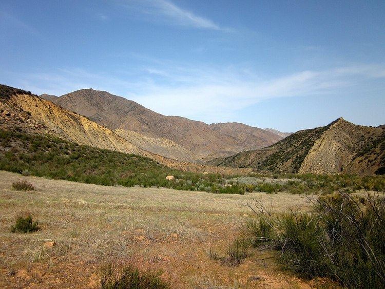
Sespe wilderness loop
The Sespe Wilderness is a 219,700-acre (88,900 ha) wilderness area in the eastern Topatopa Mountains and southern Sierra Pelona Mountains, within the Los Padres National Forest (LPNF), in Ventura County, Southern California. The wilderness area is primarily located within in the Ojai and Mt. Pinos ranger districts of the LPNF.
Contents
The wilderness area was established in 1992 by the Los Padres Condor Range and River Protection Act. The Sespe Condor Sanctuary is within the Sespe Wilderness. It was established to promote the propagation and growth of the California condor, and is closed to the public.
Sespe wilderness overnight backpacking trip
Features
The Sespe Wilderness is primarily chaparral-covered terrain, with areas of California oak woodland and riparian habitats. A section of Sespe Creek flows through it.
There are hiking trails, perennial and seasonal creeks, waterfalls, hot springs, rock formations, and designated campsites in the wilderness area.
Nearby wilderness areas of the southern Los Padres National Forest include the Matilija Wilderness (west) and Chumash Wilderness (northwest). The Dick Smith Wilderness is further to the northwest.