
Local time Thursday 9:15 AM Patron saint Louis of Toulouse | Elevation 182 m (597 ft) Postal code 51030 | |
 | ||
Frazioni Baco, Cantagrillo, Casalguidi, Castellina, Le Ville, Masotti, Pontassio, Ponte alla Stella, Ponte di Serravalle, Serravalle Scalo, Vinacciano Demonym(s) Serravallini or Terrazzani Weather 8°C, Wind NE at 6 km/h, 76% Humidity | ||
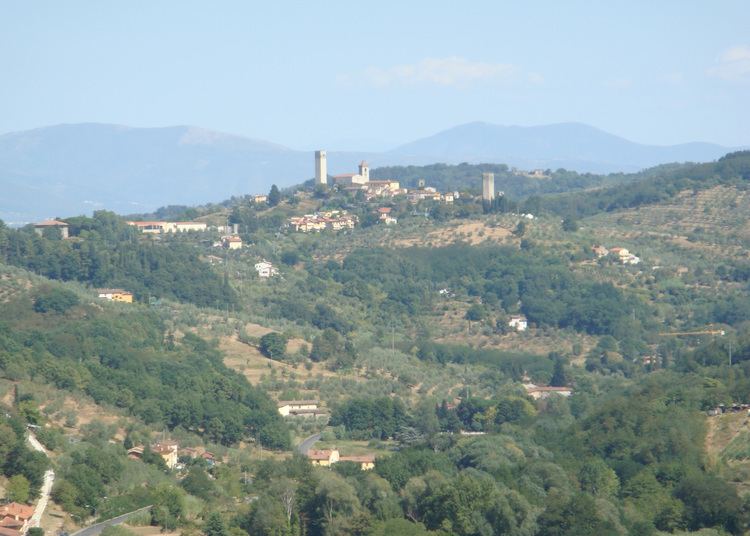
Serravalle Pistoiese is a comune (municipality) in the Province of Pistoia in the Italian region Tuscany, located about 35 kilometres (22 mi) northwest of Florence and about 8 kilometres (5 mi) southwest of Pistoia.
Contents
Map of 51030 Serravalle Pistoiese Province of Pistoia, Italy
History
The original settlement consisted of two cones, those of S. Maria and Nievole, the fortress was built by the New Lucchesi in 1302. Casttrum of talking in an old inventory of the assets of the town of Pistoia dated around 1380, this document is listed in the Castrum Serravallis cum walls turribus September muratis circumcirca et cum duabus januis.
Main sights
References
Serravalle Pistoiese Wikipedia(Text) CC BY-SA