
 | ||
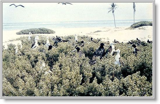
The Serrana Bank 14°20′N 80°20′W is one of the few atolls in the Atlantic Ocean. Its mostly underwater reef of about 50 km long and 13 km wide has six cays or islets, the most prominent of which is Southwest Cay.
Map of Serrana Bank
The cays from south to north are:
Serrana Bank is now Colombian territory, though it was claimed and occupied by the United States until 1981. A former base for the US military, it is now mostly visited by lobster fishermen.
Serrana Bank is believed to be named after the Spanish castaway Pedro Serrano. It was first shown on a Dutch map in 1545 with this name. They were mapped more extensively by the English in 1660.
On September 8, 1972, the United States and Colombia signed a treaty recognizing the latter's sovereignty over Quita Sueño Bank, Roncador Cay, and Serrana Bank. This treaty became effective on September 17, 1981.
On September 3, 2007 the eye of Category 5 Hurricane Felix passed over Serrana Bank.
On November 19, 2012, in regard to Nicaraguan claims to the islands the International Court of Justice (ICJ) found, unanimously, that the Republic of Colombia has sovereignty over Serrana Bank.