
 | ||
The Serra do Pico da Antónia Important Bird Area is a mountainous area in the Cape Verde archipelago, lying 600 km off the coast of north-west Africa in the Atlantic Ocean.
Contents
- Map of Serra do Pico da AntC3B3nia Important Bird Area Cape Verde
- Description
- Flora and fauna
- References
Map of Serra do Pico da Ant%C3%B3nia Important Bird Area, Cape Verde
Description
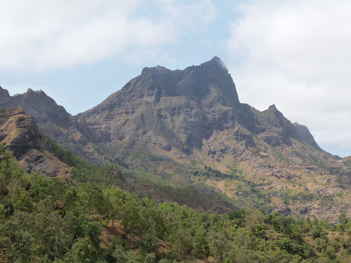
The 1500 ha site comprises the rugged central mountain range of the island of Santiago, including its highest peak Pico da Antónia. Elevations range from 700 m to 1392 m. Much of the slopes and crest of the range is planted with eucalypts and other trees which are managed by the state forestry service. The higher parts of the range are often shrouded in clouds and precipitation is relatively high. Some coffee is cultivated on the higher slopes, while beans and maize are grown at lower altitudes. Accessibility is limited, though there are some roads, as well as a track leading to the summit.
Flora and fauna
The site was identified as an Important Bird Area (IBA) by BirdLife International because it supports populations of peregrine falcons, red kites, long-legged buzzards, Alexander's swifts, Cape Verde warblers and Iago sparrows. The endemic lizards Mabuya stangeri spinalis Tarentola darwini, Tarentola rudis and Hemidactylus brooki angulatus are present. Endemic plants include Euphorbia tuckeyana, Campanula jacobaea and Sonchus daltonii.