
 | ||
Serra do Caparaó is a Brazilian mountain range located between the states of Espírito Santo and Minas Gerais.
Contents
Serra do capara
Toponym
"Caparaó" is a tupi word. Its etymology is unclear, but it may come from capara-óca (house made with capara, a twisted shrub) or from caá-apara-ó (trench made of twisted shrubs).
Geography
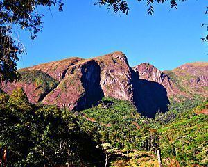
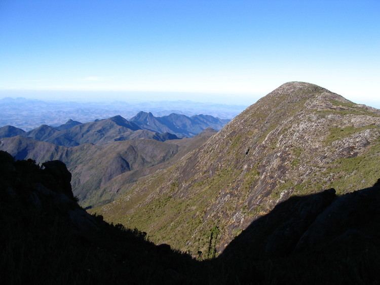
Pico da Bandeira (2892 m) is the highest point in the region. Other peaks also worth mentioning are: Pico do Calçado ("Shoe Peak", 2849 m), Pico do Cristal ("Crystal Peak", 2770 m) and Morro da Cruz do Negro ("Blackman's Cross Mountain", 2658 m).
The region presents Brazil's second largest altitude, after Serra do Imeri, and the largest gap or prominence (997 m).
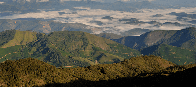
The Caparaó Mountains are mostly covered with Atlantic Forest, the preservation of which was guaranteed with the creation in May 1961 of the Caparaó National Park.
Climate
The lowest temperatures of both neighbouring states occur in this region; in Winter, frost occurs almost daily and the average low is -5 °C at Pico da Bandeira, dropping as low as -10 °C.
History
In the years 1966-67, the region was the hiding place of the guerrilla group Guerrilha do Caparaó, in their fight against the Brazilian military government.