
Peak L'Espina State/Province ES Elevation 1,181 m Province Province of Tarragona Type of rock Karst | Highest point L'Espina Country Spain | |
 | ||
Similar Ports de Tortosa‑Beseit, La Moleta, Serra de Paüls, Muntanya de Santa Bàrbara, Roques de Benet | ||
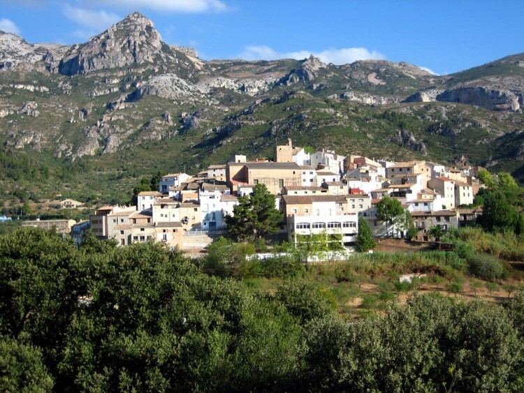
Serra de l'Espina is a limestone mountain chain located at the north-eastern end of the Iberian System. It connects the Ports de Tortosa-Beseit mountain massif with the Catalan Pre-Coastal Range.
Contents
Map of Serra de l'Espina, 43528, Tarragona, Spain
GeographyEdit
The Serra de l'Espina ridge's highest point is L'Espina (1,181.6 m). Other high peaks are Mola Carrascosa (1.025 m), Cap de la Faixa Blanca (1.023 m), Tossal de Montclí (960 m) and La Moleta d'Alfara (812 m).
On the eastern side of the range are some visible barren patches, devoid of vegetation owing to high winds, the very large Rases del Maraco, or Les Rases, at the southern end and Erms de Canduca further north. Other noteworthy places are Solana de les Feixes, the Cova dels Adells karstic cave and the ruins of Mas del Roig, an ancient farmhouse.
The Serra de Paüls mountain range is located to the north of this range.