Area 5,071 km² | ||
 | ||
Descendo a serra de ibiapaba 3gp
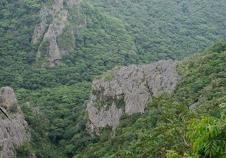
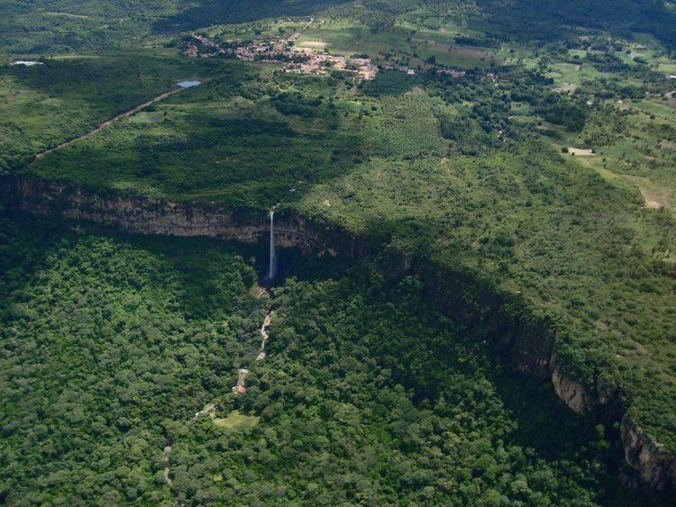
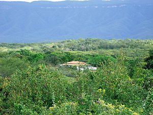
The Serra de Ibiapaba (Ibiapaba mountain) also known as Serra Grande, Chapada da Ibiabapa e Cuesta da Ibiapaba, is an upland in northeastern Brazil, which lies on the boundary of Piauí and Ceará states. The range runs north and south, extending from near the Atlantic coast in the north to connect with the Serra do Araripe, which forms the southern boundary of Ceará. The Poti River bisects the range, and the southern portion, between the Poti and the Serra do Araripe, is also known as the Serra Grande.
Contents
An attractive region for natural wealth which was already inhabited by various indigenous groups. People who lived already negotiating several natural products with European peoples, such as the French before them the arrival of the Portuguese. Initially inhabited by tabajaras and tapuias Indians, as the Iracema Indian woman who was bathing in the Bica do Ipú (Spout of Ipu) was fairly portrayed in the Iracema book by José de Alencar.
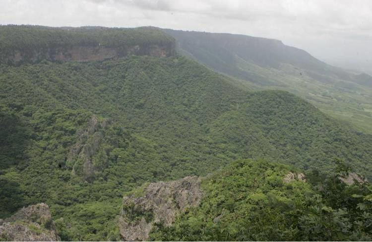
In the highlands of Ibiabapa are located the towns of Viçosa do Ceará, Tianguá, Ubajara, São Benedito and Ibiapina. The elevation ranges around 700 to 850 meters above sea level. The Ubajara National Park is located on Serra da Ibiapaba.
This article incorporates text from a publication now in the public domain: Chisholm, Hugh, ed. (1911). "article name needed". Encyclopædia Britannica (11th ed.). Cambridge University Press.
Serra da ibiapaba um nordeste diferente globo reporter