Mountain type karstic Highest point Sant Gaietà | First ascent Unknown Elevation 835 m Province Province of Alicante | |
 | ||
Location Baix Vinalopó, Valencian CommunityMurcia Mountains Puntal de Matamoros, Sanyuri, Sant Gaietà, Caminanto, Crevillente, San Cayetano, Monte Alto Similar Sierra de Orihuela, Els Pontets, Sierra de Callosa, Natural Park of El Fondo, Vinalopó | ||
Vii marcha btt serra de crevillent video oficial
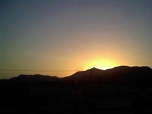
The Serra de Crevillent ([ˈsɛra ðe kɾeviˈʎent], Spanish: Sierra de Crevillente) is a mountain range in the Baetic System, southern Spain. It spans the region of Murcia and the province of Alicante. The highest peak is Sant Gaietà at 835 meters, near the town of Crevillent.
Contents
- Vii marcha btt serra de crevillent video oficial
- Map of Serra de Crevillent 03339 Alicante Spain
- V marcha btt serra de crevillent 2014
- References
Map of Serra de Crevillent, 03339, Alicante, Spain
The Serra de Crevillent is located between the Vinalopó river and the Sierra de Abanilla. The latter is geologically its western prolongation, already within the Region of Murcia.
V marcha btt serra de crevillent 2014
References
Serra de Crevillent Wikipedia(Text) CC BY-SA
