
NRHP Reference # 94000307 Year built 1921 | Area 2 ha Added to NRHP 21 April 1994 | |
 | ||
MPS | ||
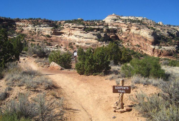
The Serpents Trail in Colorado National Monument, also known as the Trail of the Serpents and the Serpentine Trail, was built by the visionary John Otto, who began the campaign to establish the national monument. The trail was, in fact, a road from Grand Junction, Colorado through No Thoroughfare Canyon to the rimrock near Cold Shivers Point, with an elevation gain of nearly 1100 feet over 2.5 miles. From Cold Shivers Point the road proceeded at a gentler grade for four miles to Glade Park. Otto began his survey in 1911 with the help of civil engineer J.F. Sleeper. Otto's grand plan was to link Grand Junction to Moab, Utah by a scenic road to be part of a transcontinental road system. Construction began in 1912 and continued sporadically to 1921, when Mesa County took the project over. Engineer J.B. Clabaugh completed the project in 1924.
Map of Serpents Trail, Grand Junction, CO 81507, USA
The construction of the Rim Rock Drive destroyed portions of the Serpents Trail. A 1.6 mile portion has been preserved as a hiking trail. During the 1930s the Park Service considered upgrading the trail to a higher standard of road, but dropped the project. Only the relatively gentle upper section of the trail was incorporated into Rim Rock Drive in 1939-40.