
Time zone TMT (UTC+5) | Elevation 747 m (2,454 ft) Local time Thursday 8:56 AM | |
 | ||
Weather 12°C, Wind NE at 11 km/h, 78% Humidity | ||
Serhetabat (formerly Guşgy in Turkmen, Kushka or Kuschka in Russian) is a small town in the Mary Province in Turkmenistan, located in the valley of the Kushka River. The population is 5,200 (1991). It is immediately opposite to Torghundi in Afghanistan, with which it is connected by a road and a 1,520 mm (4 ft 11 27⁄32 in) gauge railway.
Contents
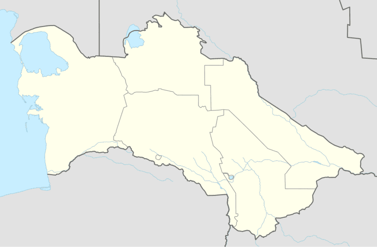
Map of Serhetabat, Turkmenistan
Overview
In 1885, Serhetabat and the surrounding region was seized from Afghanistan by the Russian forces as a result of the Panjdeh Incident (also referred to as the Battle of Kushka), in which about 600 Afghan soldiers were overwhelmed by over 2500 Russian forces.
The settlement was founded in 1890 as a Russian military outpost. A local rail line branching from Merv on the Central Asian Railway was inaugurated on 1 March 1901, causing some degree of international excitement.
The town of Kushka used to be the southernmost point of the Russian Empire and Soviet Union. A 10-metre stone cross, installed to commemorate the tercentenary of the Romanov Dynasty in 1913, is a memorial to this fact.
Transport
The broad gauge former Soviet Railway crosses into Afghanistan at the station, Torghundi being the railhead station on the other side. It was built in 1960. In 2007, this line was restored to use.
Climate
Serhetabat has a semi-arid climate (Köppen climate classification BSh), with cool winters and very hot summers. Rainfall is moderate in winter and spring, but summer is extremely dry.