
Nahiyah Serghaya Elevation 1,446 m Area code 11 | Climate Csb Local time Thursday 5:01 AM | |
 | ||
Weather 8°C, Wind E at 5 km/h, 47% Humidity | ||
Serghaya or Sirghaya (Arabic سرغايا) is a small town located in the Damascus countryside in south west Syria. According to the Syria Central Bureau of Statistics (CBS), Serghaya had a population of 7,501 in the 2004 census. Its inhabitants are predominantly Sunni Muslims.
Contents
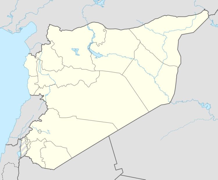
Map of Serghaya, Syria
Geography
It is 60 km (37 mi) from Damascus and 1,446 m (4,744 ft) above sea level. It is at the foot of the Anti-Lebanon Mountain. Serghaya has a moderate climate with a temperature that varies from 25 to 32 degrees Celsius all summer season and cold climate with temperature varies from -5 up to 10 all winter when snow covers the land and mountain.
It is connected to Damascus via Al-Zabadani and also has old rail reaches to Beirut via Riyaq (or Rayak), Bekaa.
Nearby Towns
Economy
Economy for this town is based on agricultural activities and the main crops are (Apple, Cherry, Pear, Peach and Apricot).