
District Gajapati District Time zone IST (UTC+5:30) Elevation 61 m Area code 06817 | Demonym(s) Suara PIN 761207 Population 77,720 (2011) | |
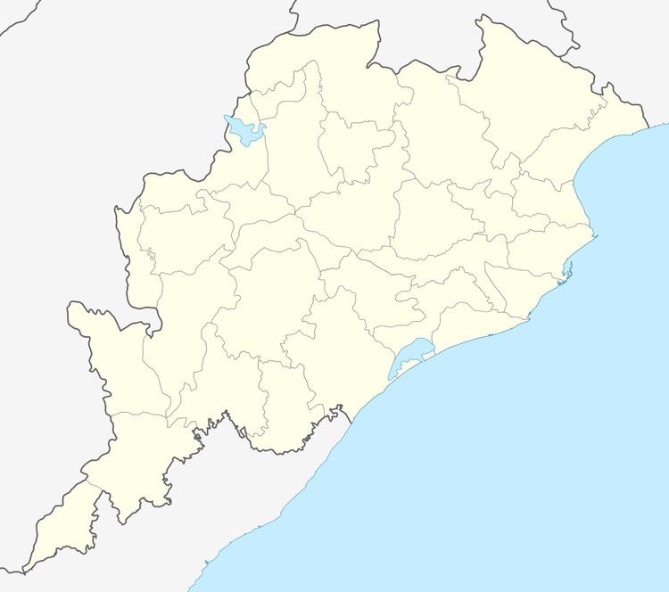 | ||
Serango is a Village in Gumma Tehsil in Gajapati District of Odisha State, India. It is located 26 km towards South from District head quarters Paralakhemundi. 5 km from Gumma. 273 km from state capital Bhubaneswar.
Contents
Map of Serango, Odisha 761207
Serango is one among the most beautiful places in Odisha, India. Serango is close to Ajayagada which is one among the highest mountain peaks in the state.
Brief history
Serango is regarded as the hub for the spread of Christianity. It is the place of Odisha where Canadian Baptist missionaries started their mission work. Their monument Bethany Bunglow still there today. They also set a mission hospital here in 1860 which is the first mission hospital set up by Canadian Baptist mission. The hospital and doctors’ and nurses’ quarters are still there. One branch is operating near Paralakhemundi. They also started an orphanage here.
It is also the center for the development of Soura literature. The Canadian Baptist missionaries tried their best to avail the Bible to everyone; thus they wanted to avail the Bible in Soura language. They produced written literature in Soura language in Roman script. And it is Serango where they devised/implemented all the techniques
Schools in Serango
Maintain the tradition of education Serango has two Primary Schools -
- Serango Government High School
- Jisu Prem
Colleges near Serango
- Centurion School Of Rural Enterprise Management
- S.k.C.G College
- Jagannath Institute For Technology And Management
- Meena Ketan Degree College
References
19°00′25.8″N 84°02′43.1″E