
Country Area 267 km2 Mayor Tubagus Haerul Jaman | ||
 | ||
Colleges and Universities Sultan Ageng Tirtayasa University, Serang Raya University | ||
Map of Serang
Serang municipality (Indonesian: Kota Serang) is the capital of Banten province and was formerly also the administrative center of Serang Regency in Indonesia (the Regency's capital is now at Baros). The city is located towards the north of Banten province, on the island of Java. Before Banten province was formed in 2000 Serang was part of West Java province.
Contents
- Map of Serang
- Le dian hotel serang
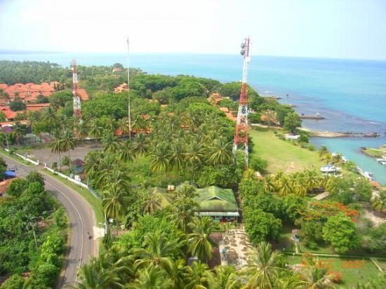
- Welcome to serang city
- Transportation
- Administrative districts
- Emblem
- References
Serang has a tropical rainforest climate, with no dry season month. It faces the Java Sea, which is home to Thousand Islands.
Serang was reported as having a population of 576,961 in the 2010 census, making it the third most populous city in the province of Banten. The latest official population estimate (for January 2014) is 643,101. Serang is located approximately 15 km from the border of Jabodetabek and sometimes considered as amalgamated with the Greater Jakarta.
Le dian hotel serang
Welcome to serang city
Transportation
The city is served by Serang Station, operated by Indonesia's rail operator PT Kereta Api.
The Tangerang–Merak Toll Road, part of the Trans-Java toll road, passes through the city of Serang.
The road to the proposed Sunda Strait Bridge would start in Serang, pass through Merak in neighboring Cilegon city to cross over the Sunda Strait to Sumatra.
Administrative districts
Serang was formerly a part of Serang Regency. On 2 November 2007, the status of Serang was changed into a municipality (kota madya) independent of the Regency.
The City of Serang is divided into six districts (kecamatan), listed below with their populations at the 2010 Census:
Emblem
The emblem of Serang consists of