
Country Bangladesh District Noakhali District Area 159.8 km² | Division Chittagong Division Time zone BST (UTC+6) | |
 | ||
Website senbug.noakhali.gov.bd(Bengali) | ||
Senbag (Bengali: সেনবাগ) is an upazila of Noakhali District in the Division of Chittagong, Bangladesh. Senbag is located within an area of 155.83 square kilometres (60.2 sq mi), which is enclosed by Nangalkot upazila (to the north), Noakhali Sadar and Companiganj upazilas (south), Daganbhuyiyan upazila, Feni (east), with Begumganj and Laksam upazilas (to the west).
Contents
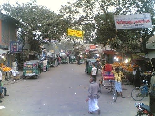
- Map of Senbag Upazila Bangladesh
- Geography
- Demographics
- Administration
- Religious institutions
- Education
- References
Map of Senbag Upazila, Bangladesh
Geography
Senbag is located at 22.9833°N 91.2333°E / 22.9833; 91.2333. It has 38067 units of households and a total area of 155.83 square kilometres (60.2 sq mi).
Demographics
As of the 1991 Bangladesh census, Senbag has a population of 216,309. Males are 48.24% of the population, and females 51.76%. This Upazila's eighteen-and-older population is 100,117. Senbag has an average literacy rate of 43.5% (7+ years), and the national average of 32.4% literate.
The total area of the town is 15.7 square kilometres (6.1 sq mi), and the population is 23,530: male 49.34%, female 50.66%; population density per km2 1499. The literacy rate among the town's people is 49.3%.
Administration
Senbagh thana was turned into Senbagh Upazila in 1983. It consists of 9 Union parishads, 99 mouzas and 111 villages. The total area population is 216309; male 48.24%, female 51.76%; with Muslim 94.89%; Hindu 5.04%, Buddhist 0.07%.
Religious institutions
Senbagh Upazila has the Mosque 312, temple 14, most noted of which is Senbagh Bazar Jami Mosque. The Senbag (town) consists of six mouzas. Domoria Sreepur Jami Mosque.
Education
The average literacy is 70.3%: male 50.3% and female 20.0%. Educational institutions include: government college 1, non-government college 2, government high school 2, non-government high school 23, madrasa 19, government primary school 79, and non-government primary school 41. Cultural organisations include: Rural club 17, cinema hall 1, and playground 14. The main occupations are: agriculture 30.14%, agricultural labourer 16.66%, wage labourer 1.96%, commerce 10.99%, service 23.54%, transport 2.52% and others 14.19%. About 1,000 women and girls received sewing training from MAAWS Sewing Training Institute by June 2011. MAAWS also founded a computer training school at village Earpur in Senbag. There is a village in Domoria union named Gazir Hat where a high school (Gazir Hat High School), a primary school, (Domoria Primary School) etc., (the Akbor Ali Khan College). There is a village in Kadra union named Mogua where a high school, a primary school, and a vocational high school are situated. Freedom Fighter M A Azim Chowdhury is one of the founders and former headmaster of M A Ali High School and Vocational High School in Mogua Village. Domoura and Mogua village are most popular in Senbag upazila. There have a model many model village, one of them is Chandpur. Chandpur have many educational institute. Chandpur Model High School is one of famous educational institutes. It wasestablished in 1992.