
Country Thailand Time zone ICT (UTC+7) Area 526 km² Province Amnat Charoen Province | Seat Senangkhanikhom Postal code 37290 Population 40,188 (2005) Geocode 3705 | |
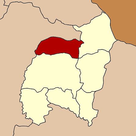 | ||
Senangkhanikhom (Thai: เสนางคนิคม, [sěː.nāːŋ.kʰá.ní.kʰōm]) is a district (amphoe) in the northern part of Amnat Charoen Province, northeastern Thailand.
Contents
Map of Senangkhanikhom District, Amnat Charoen, Thailand
Geography
Neighboring districts are (from the east clockwise) Chanuman, Mueang Amnat Charoen of Amnat Charoen Province, Thai Charoen and Thai Charoen of Yasothon Province.
History
The minor district (king amphoe) was created on 15 December 1975, when the five tambon Senangkhanikhom, Rai Si Suk, Phon Thong, Nong Hai, and Na Wiang were split off from Amnat Charoen District. It was upgraded to a full district on 1 April 1983. In 1993 it was one of the districts split off from Ubon Ratchathani to form the new province, Amnat Charoen.
Administration
The district is divided into six sub-districts (tambon), which are further subdivided into 58 villages (muban). Senangkhanikhom is a township (thesaban tambon) which covers parts of the tambon Senangkhanikhom. There are further six tambon administrative organizations (TAO).