Area 25,278 km² Population 34,230 (2007) | Local time Wednesday 8:05 AM | |
 | ||
Weather 23°C, Wind NE at 3 km/h, 95% Humidity | ||
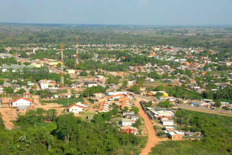
Sena Madureira is a municipality located in the center of the Brazilian state of Acre. Its population is 34 230 and its area is 25,278 square kilometres (9,760 sq mi), making it the largest municipality in the state. It has a climate which combines temperatures of almost 100 °F (38 °C) with humidities in the upper 90s percent, all year round.
Contents
Map of Sena Madureira - State of Acre, Brazil
Conservation
The municipality contains part of the Rio Acre Ecological Station. It also contains part of the 931,537 hectares (2,301,880 acres) Chico Mendes Extractive Reserve, a sustainable use environmental unit created in 1990. It contains the 176,349 hectares (435,770 acres) Macauã National Forest, a sustainable use conservation unit created in 1988. It also contains the 21,148 hectares (52,260 acres) São Francisco National Forest, a sustainable use conservation unit created in 2001.
It contains 98% of the 750,795 hectares (1,855,250 acres) Cazumbá-Iracema Extractive Reserve, established in 2002 to support sustainable use of the natural resources by the traditional population. The municipality contains about 12% of the 695,303 hectares (1,718,130 acres) Chandless State Park, created in 2004, which protects an area of rainforest with bamboos that contains various endemic species of flora and fauna. It contains about 27% of the 46,064 hectares (113,830 acres) Antimary State Forest, a sustainable use conservation unit established in 1997.
