
Intercommunality Argonne Ardennaise Area 37.04 km² | Canton Machault Population (2008) 213 Local time Monday 6:24 AM | |
 | ||
Weather 4°C, Wind NE at 8 km/h, 76% Humidity | ||
Semide is a commune in the Ardennes department in the Grand Est region in northern of France.
Contents
Map of 08400 Semide, France
It is located 200 km (120 mi) northeast of Paris, 40 km (25 mi) of Reims).
History
Semide has not always been what it is today. Formerly, the chalky soil gave bad harvest. This poor land, where resinous had been plant under the Second Empire provided to the sheep kine sparse grass. In the 1960s, Semide underwent a change which has modified its economy, its way of life and the landscape. Mecanisation, motorisation, clearing, fertilizer utilization and regrouping of lands mark out the intensive farming beginning dominates by cereals.
Population
The inhabitants are called Semidas.
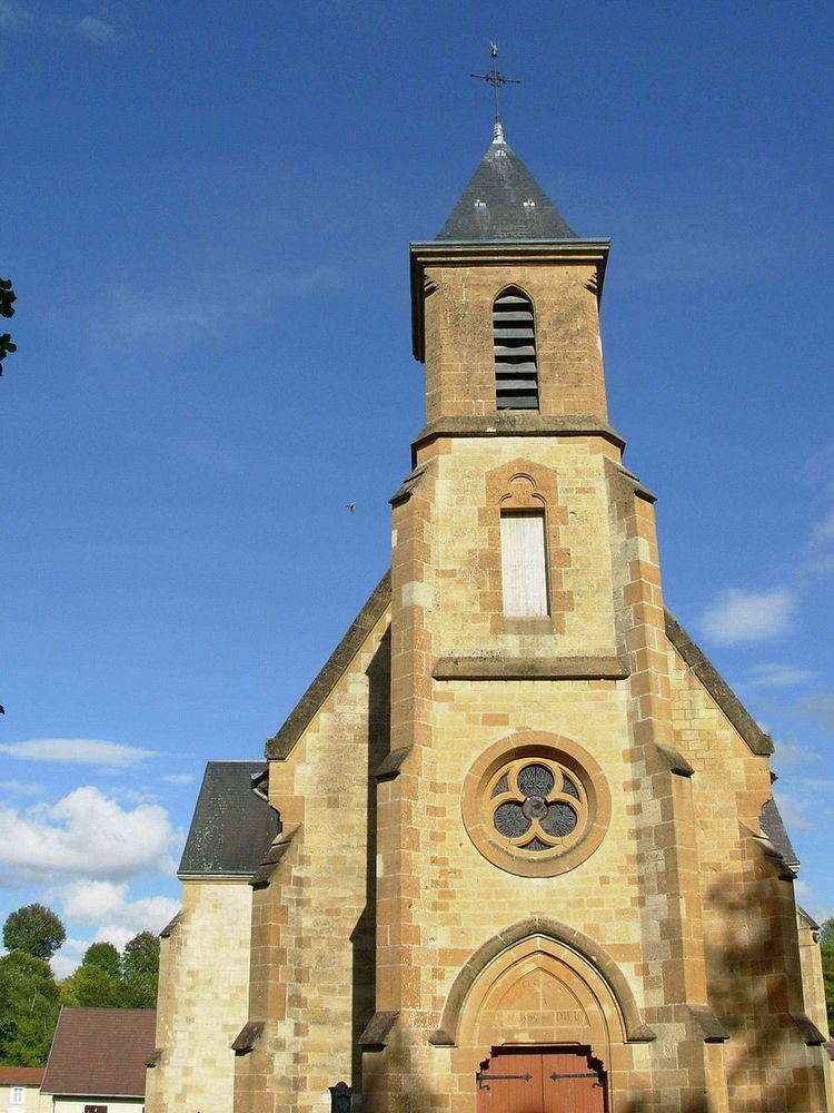
Sights
Economy
Semide main's activity is farming, predominantly cereal and sugar beet production.
References
Semide Wikipedia(Text) CC BY-SA