District Westerwaldkreis Elevation 248 m (814 ft) Area 8.71 km² Local time Monday 3:56 AM Dialling code 02626 | Municipal assoc. Selters (Westerwald) Time zone CET/CEST (UTC+1/+2) Population 2,744 (31 Dec 2008) Postal code 56242 | |
 | ||
Weather 4°C, Wind E at 11 km/h, 73% Humidity | ||
Selters is a town in the Westerwaldkreis in Rhineland-Palatinate, Germany. Selters is the seat of the Verbandsgemeinde of Selters, a kind of collective municipality.
Contents
- Map of Selters Westerwald Germany
- Location
- History
- Catholic Church
- Evangelical Church
- Town council
- Transport
- Sons and daughters of the town
- References
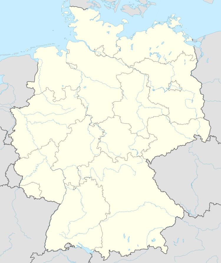
Map of Selters (Westerwald), Germany
Location
The town lies in the Westerwald between Koblenz and Siegen, roughly 12 km northwest of Montabaur, and 25 km northeast of Koblenz.
History
In 1194/1198, Selters had its first documentary mention as Saltres. On 9 November 1938, the synagogue was burnt down. In October 1939, Selters was “Jew-free”. Only the Jewish graveyard on the Wacht still bears witness to the Jews’ history in Selters. On 15 October 2000, the then community of Selters, by decision of the Ministry of the Interior and Sport, was granted town rights.
Catholic Church
The Roman Catholic parish of Saint Boniface has existed only since the late 19th century. In 1892, the parish’s own church was consecrated, which was built in neo-Gothic style. In November 1965, owing to the church building’s unsoundness, it was torn down, and on the land a new, modern church was built. Beneath this church is found the parish centre with meeting and event rooms. In the parish church, the relics of Saint Gabriel of Our Lady of Sorrows are kept and worshipped. Particular stress is the devotion to church music and youth work. Many musical groups busy themselves, without pay, in the parish and enrich church services with their musical pieces. Since August 2009, the priest Marcus W. Fischer has headed the parish.
Evangelical Church
The Evangelical parish in Selters has owned its own church since 1842. This building’s side wings also housed the Selters elementary school until 1958. The same rooms are now used by the town administration. In 1850, the Evangelical parish got its first minister. In 1963, a kindergarten and a parish centre were dedicated. Since 2006, Mr. Wehrmann has been the one responsible for leading the parish.
Town council
The council is made up of 22 council members, as well as the honorary and presiding mayor (Ortsbürgermeister), who were elected in a municipal election on 13 June 2004.
Apportionment of seats on town council:
Transport
The town lies west of Bundesstraße 8, leading from Limburg an der Lahn to Siegburg. Selters also lies right near the Autobahnen A 3 (Cologne–Frankfurt) and A 48 (to Koblenz). The nearest InterCityExpress stop is the railway station at Montabaur on the Cologne-Frankfurt high-speed rail line.
