
Country United States Time zone CST (UTC-6) Area 93.63 km² Population 2,536 (2010) | Established November 6, 1849 Elevation 201 m Local time Sunday 3:45 PM | |
 | ||
ZIP codes 61322, 61356, 61359, 61362 Weather 12°C, Wind SW at 14 km/h, 88% Humidity | ||
Selby Township is one of twenty-five townships in Bureau County, Illinois, USA. As of the 2010 census, its population was 2,536 and it contained 971 housing units.
Contents
- Map of Selby Township IL USA
- Geography
- Cities
- Unincorporated towns
- Cemeteries
- Major highways
- Airports and landing strips
- Landmarks
- School districts
- Political districts
- References
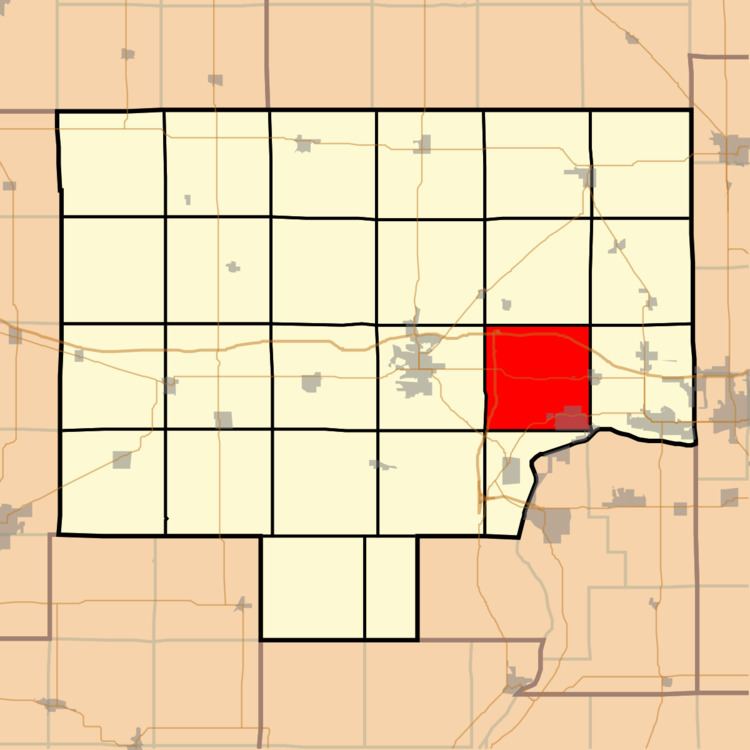
Map of Selby Township, IL, USA
Geography
According to the 2010 census, the township has a total area of 36.15 square miles (93.6 km2), of which 35.94 square miles (93.1 km2) (or 99.42%) is land and 0.21 square miles (0.54 km2) (or 0.58%) is water.
Cities
Unincorporated towns
(This list is based on USGS data and may include former settlements.)
Cemeteries
The township contains these six cemeteries: Artestian Well, De Pue Village, Evangelical and Reformed, Hollowayville, Saint Johns Lutheran and Searl Ridge.
Major highways
Airports and landing strips
Landmarks
School districts
Political districts
References
Selby Township, Bureau County, Illinois Wikipedia(Text) CC BY-SA