
Pos code 92812 Vehicle registration DD | Time zone WITA (UTC+8) Area code(s) (+62) 414 Area 10,504 km² Population 121,905 (2010) | |
 | ||
Anniversary 29 November 1605; 411 years ago (1605-11-29) | ||
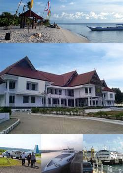
The Selayar Islands Regency is a regency of Indonesia in South Sulawesi province that covers the Selayar Islands, which lie to the south of Sulawesi. The Selayar Straits separate the regency from Sulawesi island.
Contents
Map of Selayar Islands Regency, South Sulawesi, Indonesia
Districts
The Selayar Islands Regency is divided into eleven districts (kecamatan), tabulated below with their 2010 Census populations and their administrative centres ('capitals').
Regent
Here are the names of the Leader / Regent Selayar Islands since 1739 until now :
Sea turtle village
Kampung Penyu (Sea turtle village) in Bontomanai district is sea turtle conservation area under supervision of Taka Bone Rate National Park.
References
Selayar Islands Regency Wikipedia(Text) CC BY-SA