
Elevation 3,458 ft (1,054 m) | Topo map USGS Seguam Last eruption May to August 1993 | |
 | ||
Island groups Aleutian Islands, Andreanof Islands | ||
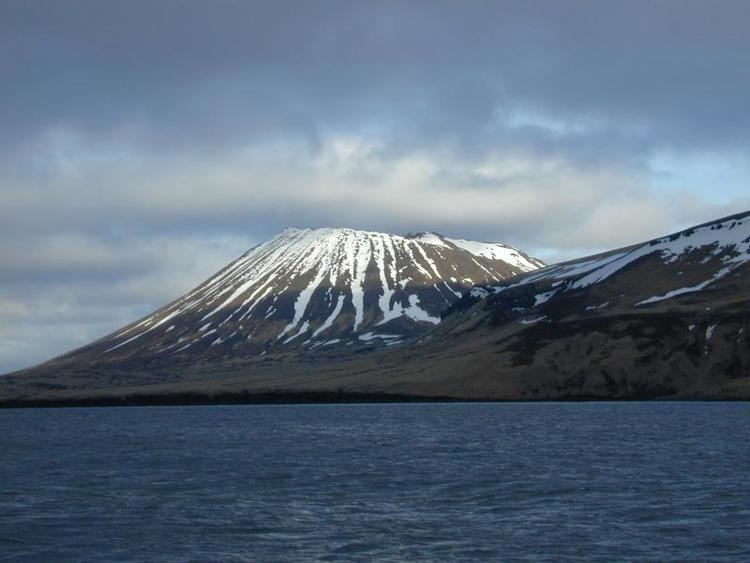
Seguam Island (Aleut: Saĝuugamax) is a small volcanic island in the Andreanof Islands group in the Aleutian Islands of Alaska. The island is mountainous and oval shaped with a land area of 80.04 square miles (207.3 km2). It is 16 miles (26 km) long and 6.8 miles (10.9 km) wide. The 2000 census reported a population of one person.
Map of Seguam Island, Alaska, USA
The island consists of several overlapping stratovolcanoes, and it contains two calderas each with central volcanic cones. About 10 historical eruptions have been recorded since the late 18th century, the most recent in 1993. All recent activity has occurred at Pyre Peak, the cone within the western caldera and the highest point on the island, and has produced explosive eruptions and basaltic lava flows.
References
Seguam Island Wikipedia(Text) CC BY-SA