
OS grid reference SX304544 Post town TORPOINT Local time Saturday 9:48 PM Dialling code 01503 | Sovereign state United Kingdom Postcode district PL11 | |
 | ||
Weather 12°C, Wind NE at 24 km/h, 41% Humidity | ||
Seaton (Cornish: Sethyn, meaning little arrow (after the river)) is a village on the south coast of Cornwall, England, United Kingdom. It is situated at the mouth of the River Seaton approximately three miles (5 km) east of Looe and ten miles (16 km) west of Plymouth. The village is in the civil parish of Deviock.
Map of Seaton, Torpoint, UK
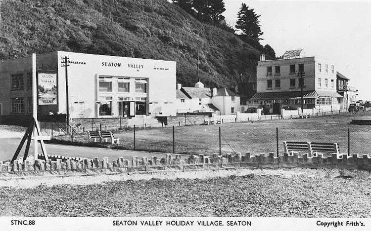
The village stretches inland along the River Seaton valley. It has a pub, a beach café, and some shops. Seaton beach is mostly shingle and stretches from the river to the village of Downderry which approximately a mile to the east.
Seaton Valley Countryside Park, one of four Country Parks in Cornwall, is immediately to the north of the village. The park includes a nature trail that can be followed for nearly two miles north to Hessenford.
A Monkey Sanctuary with a colony of woolly monkeys and other rescued primates is situated two miles to the west.