
Postcode(s) 5169 State electorate(s) Mawson Postal code 5169 | Area 77 ha Federal division Division of Mayo | |
 | ||
Seaford Heights is a metropolitan suburb of Adelaide, South Australia. It lies within the City of Onkaparinga and has postcode 5169. Its boundaries are formed by Robinson Road on the north, Main South Road on the west, Victor Harbor Road & Ostrich Farm Road on the east, and The Southern Waste Depot on the south. It covers 77 hectares.
Map of Seaford Heights SA 5169, Australia
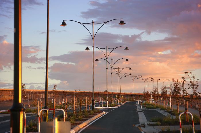
Infrastructure development of Seaford Heights began in early 2014. The first permanent buildings (including an Aldi supermarket) were completed in late 2015. The Aldi supermarket opened in February 2016.
The development of Seaford Heights has gained considerable opposition. It is argued that the suburb represents unacceptable urban sprawl, infringing on The McLaren Vale wine region. A Facebook page titled 'We Oppose Seaford Heights' has attracted almost 1000 'likes'.
The Fairmont Group, an Australian property-development company, was given the tender in December 2008 to develop the property, and planned to start in late 2009. However, local opposition to the development stalled development for several years. Original plans called for the suburb to be completed in 2019 with 1300 allotments and an approximate population of 4,500.
Some concerns have been raised with City of Onkaparinga council that the residential area will be sandwiched between two of Southern Adelaide's busiest arterial roads (Main South Road, Victor Harbor Road) and a dump (The Southern Waste Depot). Local opposition has also questioned placing a "strip mall" next to Adelaide's extensive grape fields.