
Country United States FIPS code 05-62960 Elevation 266 m Zip code 72863 Local time Saturday 4:47 AM | Time zone Central (CST) (UTC-6) GNIS feature ID 0073503 Area 130 ha Population 216 (2013) Area code 479 | |
 | ||
Weather 13°C, Wind E at 6 km/h, 100% Humidity | ||
How to say or pronounce usa cities scranton arkansas
Scranton is a city in Logan County, Arkansas, United States. The population was 222 at the 2000 census.
Contents
- How to say or pronounce usa cities scranton arkansas
- Map of Scranton AR 72863 USA
- Geography
- Demographics
- Education
- References
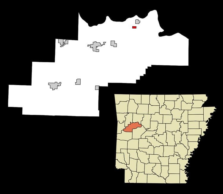
Map of Scranton, AR 72863, USA
Geography
Scranton is located at 35°21′37″N 93°32′27″W (35.360352, -93.540697).
According to the United States Census Bureau, the city has a total area of 0.5 square miles (1.3 km2), all of it land. Mayors name is David Corbitt.
Demographics
As of the census of 2000, there were 222 people, 90 households, and 66 families residing in the city. The population density was 447.4 people per square mile (171.4/km²). There were 112 housing units at an average density of 225.7 per square mile (86.5/km²). The racial makeup of the city was 97.30% White, 0.90% Black or African American, and 1.80% from two or more races.
There were 90 households out of which 31.1% had children under the age of 18 living with them, 55.6% were married couples living together, 15.6% had a female householder with no husband present, and 25.6% were non-families. 23.3% of all households were made up of individuals and 17.8% had someone living alone who was 65 years of age or older. The average household size was 2.47 and the average family size was 2.85.
In the city, the population was spread out with 23.9% under the age of 18, 12.2% from 18 to 24, 24.3% from 25 to 44, 21.2% from 45 to 64, and 18.5% who were 65 years of age or older. The median age was 39 years. For every 100 females there were 96.5 males. For every 100 females age 18 and over, there were 87.8 males.
The median income for a household in the city was $26,000, and the median income for a family was $30,313. Males had a median income of $16,875 versus $18,750 for females. The per capita income for the city was $25,970. About 11.5% of families and 17.8% of the population were below the poverty line, including none of those under the age of eighteen and 34.2% of those sixty five or over.
Education
Public education for elementary and secondary students in Scranton and nearby communities is provided by the Scranton School District, which serves more than 400 students and employs more than 70 educators and staff at its two schools: