
Website www.scottcounty.com Founded 1849 Unemployment rate 8.9% (Apr 2015) | Area 1,380 km² Population 22,015 (2013) | |
 | ||
University Tennessee College of Applied Technology Oneida/Huntsville | ||
Hiking twin arches at big south fork in scott county tennessee part 1 of 2
Scott County is a county located in the U.S. state of Tennessee. As of the 2010 census, the population was 22,228. Its county seat is Huntsville. Scott County is known for having seceded from Tennessee in protest of the state's decision to join the Confederacy during the Civil War, and subsequently forming The Free and Independent State of Scott.
Contents
- Hiking twin arches at big south fork in scott county tennessee part 1 of 2
- Map of Scott County TN USA
- History
- State of Scott
- Geography
- Adjacent counties
- National protected area
- State protected areas
- Demographics
- Education
- Public safety
- Media
- Towns
- Census designated places
- References
Map of Scott County, TN, USA
History
Scott County was formed in 1849 from portions of Anderson, Campbell, Fentress and Morgan counties. It is named for U.S. Army General Winfield Scott, a hero of the Mexican War.
State of Scott
During the Civil War, the county was strongly Unionist, voting against secession from the Union in Tennessee's June 1861 referendum by a higher percentage (521 to 19, or 96%) than in any other Tennessee county. This sentiment was encouraged by a June 4, 1861, speech in Huntsville by senator from Tennessee, Andrew Johnson. In 1861, the county assembly officially enacted a resolution seceding from the state of Tennessee, and thus the Confederacy, forming the "Free and Independent State of Scott," also known simply as the "State of Scott." The county remained a pro-Union enclave throughout the war.
The proclamation was finally repealed, over a hundred years later, by Scott County in 1986.
Geography
According to the U.S. Census Bureau, the county has a total area of 533 square miles (1,380 km2), of which 532 square miles (1,380 km2) is land and 0.9 square miles (2.3 km2) (0.2%) is water. The county is located in a relatively hilly area atop the Cumberland Plateau. In the southwestern part of the county, the Clear Fork and New River converge to form the Big South Fork of the Cumberland River, a major tributary of the Cumberland River, and the focus of a national river and recreation area.
U.S. Route 27 is the county's primary north-south road. State Highway 63 connects Scott County with Campbell County to the east. State Highway 52 connects Scott County with the Fentress County area to the west. A portion of State Highway 297 connects Oneida with the Big South Fork Recreation Area.
Adjacent counties
National protected area
State protected areas
Demographics
At the 2000 census, there were 21,127 people, 8,203 households and 6,012 families residing in the county. The population density was 40 per square mile (15/km²). There were 8,909 housing units at an average density of 17 per square mile (6/km²). The racial makeup of the county was 98.53% White, 0.09% Black or African American, 0.25% Native American, 0.12% Asian, 0.10% from other races, and 0.91% from two or more races. 0.57% of the population were Hispanic or Latino of any race.
There were 8,203 households of which 35.70% had children under the age of 18 living with them, 57.20% were married couples living together, 11.80% had a female householder with no husband present, and 26.70% were non-families. 24.30% of all households were made up of individuals and 9.50% had someone living alone who was 65 years of age or older. The average household size was 2.55 and the average family size was 3.02.
26.10% of the population were under the age of 18, 10.30% from 18 to 24, 28.70% from 25 to 44, 23.60% from 45 to 64, and 11.30% who were 65 years of age or older. The median age was 35 years. For every 100 females there were 97.40 males. For every 100 females age 18 and over, there were 94.00 males.
The median household income was $24,093 and the median family income was $28,595. Males had a median income of $24,721 compared with $19,451 for females. The per capita income for the county was $12,927. About 17.60% of families and 20.20% of the population were below the poverty line, including 24.10% of those under age 18 and 17.10% of those age 65 or over.
Scott County, a part of the Cumberland Plateau, includes the majority of the Big South Fork National River and Recreation Area.
Education
Scott County School District (Website)
Oneida Special School District (Website)
Private schools
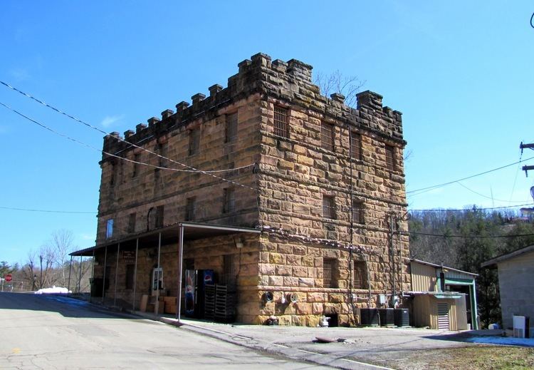
Public safety
Includes the Scott County Sheriff Department; Oneida and Winfield Police Department; a full-time ambulance service with two stations; a volunteer rescue squad; and nine volunteer fire stations placed throughout the county.