
Admin. region Arnsberg Elevation 120 m (390 ft) Population 48,311 (30 Jun 2010) | District Unna Time zone CET/CEST (UTC+1/+2) Local time Friday 5:58 PM | |
 | ||
Weather 13°C, Wind NE at 18 km/h, 48% Humidity Points of interest Ruhr, Ruhrtalmuseum, Elsebachtal, Residenz Koch zu | ||
Schwerte is a town in the district of Unna, in North Rhine-Westphalia, Germany.
Contents
- Map of Schwerte Germany
- Geography
- Division of the town
- Twin towns
- History
- Main sights
- Economy
- Personalities
- References
Map of Schwerte, Germany
Geography
Schwerte is situated in the Ruhr valley, at the south-east border of the Ruhr Area. South of Schwerte begins the mountainous Sauerland region.
Division of the town
After the local government reforms of 1975 Schwerte consists of the following districts:
Twin towns
Schwerte is twinned with:
History
Schwerte received civic rights in the 12th century.
The railway facility in the eastern district of Schwerte became a branch of the Buchenwald concentration camp in April 1944. The camp had 445 prisoners in August and 670 in November 1944. The number of escapees was comparatively high, in November 1944 48 prisoners escaped. The camp in Schwerte was disbanded in December 1944 and the remaining prisoners were brought back to Buchenwald.
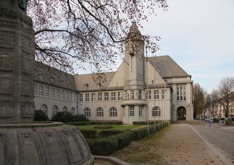
Main sights
Economy
Today, there are some industries left, which are confined to the manufacture of iron and steel goods.