
State/Province DE-NI Elevation 213 m | Mountain range Wiehen Hills | |
 | ||
Similar Großer Kellenberg, Altes Verbrenn, Nonnenstein, Limberg, Reineberg | ||
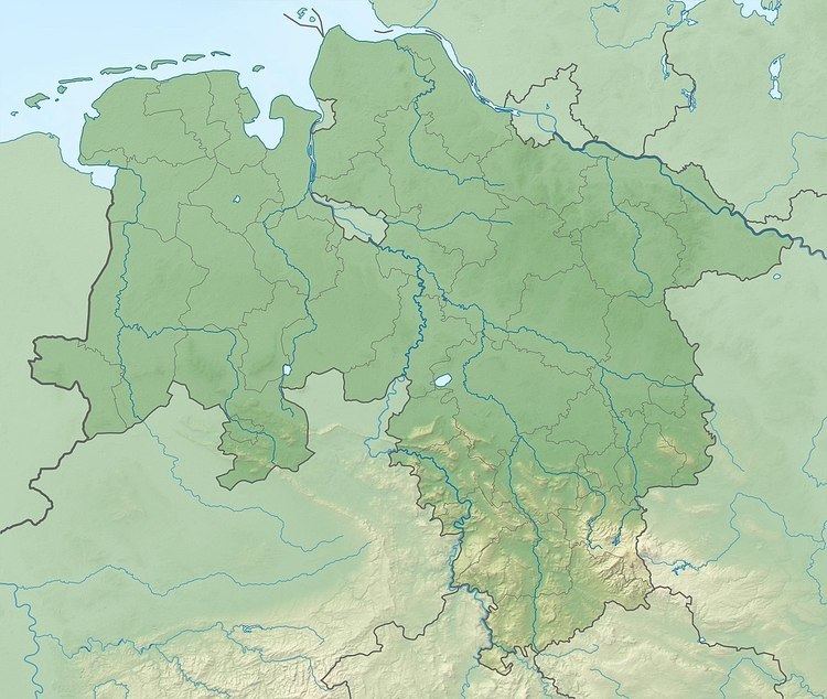
The Schwarzer Brink is a hill in the Egge, a side ridge of the Wiehen Hills in North Germany. It is 211 metres high and is often cited as the highest hill in the Egge. At the same time there is in the immediate vicinity, around a kilometre southwest of the hill, north of Büscherheide an arable area, that is somewhat higher, but does not bear its own name. Because that field lies 200 metres west of the state border with North Rhine-Westphalia, and thus on the territory of Bad Essen, the Schwarzer Brink not even the highest point in its own municipality. Around 500 metres north of the Schwarzer Brink is the Hartmann Hut.
Map of Schwarzer Brink, 49152 Bad Essen, Germany
References
Schwarzer Brink Wikipedia(Text) CC BY-SA