
District Osnabrück Postal codes 49152 Population 15,753 (31 Dec 2008) | Time zone CET/CEST (UTC+1/+2) Dialling codes 05472 Local time Tuesday 12:17 AM | |
 | ||
Weather 8°C, Wind S at 29 km/h, 77% Humidity Points of interest Schloss Hünnefeld, Kunst‑ und Museumskreis, Wassermühle Bad Essen | ||
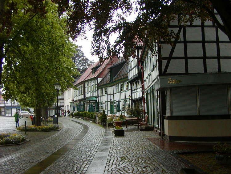
Bad Essen is a small municipality and health resort in the district of Osnabrück, in Lower Saxony. Bad Essen with its historical centre is located on the German Timber-Frame Road.
Contents
Map of 49152 Bad Essen, Germany
Wohnmobilstellplatz bad essen womoclick de
Geography
The town of Bad Essen is on the North German Plains, because of the transition of the low mountain range to the plains. The Wiehengebirge Range covers approximately the southern third of the town and reaches an altitude of 211m above sea level. The highest point of the Wiehengebirge Range is on the black Brink in Lintorf. The northern part of the town is flat, with an average altitude of 50m above sea level. The Hunte flows through the eastern part of Bad Essen northwards and crosses the Midland Canal in Wittlage.
References
Bad Essen Wikipedia(Text) CC BY-SA