
Admin. region Mittelfranken Elevation 350 m (1,150 ft) Area 32.41 km² Local time Friday 4:34 PM Dialling code 09170 | Time zone CET/CEST (UTC+1/+2) Population 7,407 (31 Dec 2008) Postal code 90596 Administrative region Middle Franconia | |
 | ||
Weather 9°C, Wind NE at 14 km/h, 70% Humidity | ||
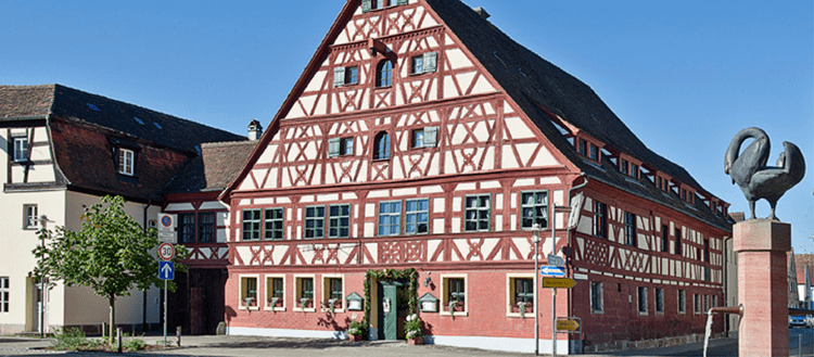
Schwanstetten is a municipality in the district of Roth, in Bavaria, Germany. Schwanstetten is located 15 km south of Nuremberg. Population is about 7,500 (Dec. 2006).
Contents
Map of Schwanstetten, Germany
Division of the municipality
After the local government reforms of 1978 Schwanstetten consists of 6 districts:
History
The town district Schwand was first mentioned in 1186, another one, Leerstetten, in 1194.
Mayors
Twin towns
References
Schwanstetten Wikipedia(Text) CC BY-SA