
Vehicle registration SHA, CR | Time zone CET (UTC+1) Population 187,682 (2013) Administrative region Stuttgart | |
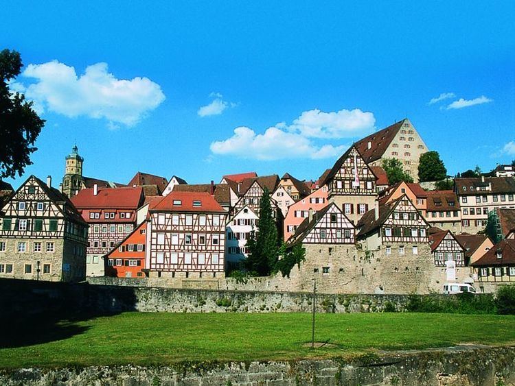 | ||
Website landkreis-schwaebisch-hall Points of interest Castillo de Langenburg, Kunsthalle Würth, Hohenlohe Freilandmuseum Schwabis, Hällisch‑Fränkisches Museum, St Michael Destinations | ||
Schwäbisch Hall is a district (Kreis) in the north-east of Baden-Württemberg, Germany. Neighboring districts are (from north clockwise) Main-Tauber, the Bavarian district Ansbach, Ostalbkreis, Rems-Murr and Hohenlohe.
Contents
Map of Schw%C3%A4bisch Hall, Germany
History
The district dates back to the Oberamt Schwäbisch Hall, which was created in 1803, when the previously free imperial city Schwäbisch Hall became part of Württemberg. After several minor changes it was converted into a district in 1938. In 1973 it was merged with the district Crailsheim and the area around Gaildorf, which was part of the also dissolved district Backnang.
Geography
The two rivers Jagst and Kocher, tributaries to the Neckar, flow through the district. The landscapes covered by the district are the Hohenlohe plain (Hohenloher Ebene), the Swabian-Franconian Forest (Schwäbisch-Fränkischen Waldberge), which includes part of the Mainhardt Forest, and the Frankenhöhe.
Partnerships
The district maintains partnerships with the district Delitzsch in the Free State of Saxony and the Polish commune of Zamość.